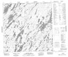
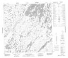
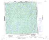
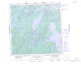
Maps showing Hatle Lake, Northwest Territories
Hatle Lake is a Lake located in Northwest Territories.
- Latitude: 60° 0' 5'' North (decimal: 60.0013146)
- Longitude: 103° 24' 37'' West (decimal: -103.4103020)
- Topography Feature Category: Lake
- Geographical Feature: Lake
- Canadian Province/Territory: Northwest Territories
- Atlas of Canada Locator Map: Hatle Lake
- GPS Coordinate Locator Map: Hatle Lake Lat/Long
Hatle Lake NTS Map Sheets