Canada Topographic Maps

Anderson River Delta Bird Sanctuary Topo Maps

Topography maps and Latitude/Longitude Location

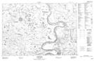
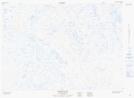
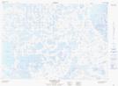
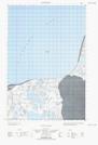
Maps showing Anderson River Delta Bird Sanctuary, Northwest Territories

Anderson River Delta Bird Sanctuary is a Conservation area located in Northwest Territories.

  • Latitude: 69° 35' 0'' North   (decimal: 69.5834238)
  • Longitude: 128° 55' 10'' West   (decimal: -128.9193348)
  • Topography Feature Category: Conservation area
  • Geographical Feature: Migratory Bird Sanctuary
  • Canadian Province/Territory: Northwest Territories
  • Atlas of Canada Locator Map: Anderson River Delta Bird Sanctuary
  • GPS Coordinate Locator Map: Anderson River Delta Bird Sanctuary Lat/Long

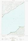
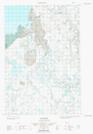
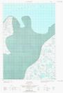
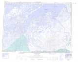
Anderson River Delta Bird Sanctuary NTS Map Sheets

107D08 Husky Bend Topographic Map at 1:50,000 scale

107D09 Mitten Cove Topographic Map at 1:50,000 scale

107D10 Tingmiak Lake Topographic Map at 1:50,000 scale

107D15E No Title Topographic Map at 1:50,000 scale

107D15W No Title Topographic Map at 1:50,000 scale

107D16E Stanton Topographic Map at 1:50,000 scale

107D16W Stanton Topographic Map at 1:50,000 scale

107D Stanton Topographic Map at 1:250,000 scale

 
Buy Topographic Maps DVD
Newsletter Sign-up

Yes, I want to receive map store discounts.


Bookmark and Share