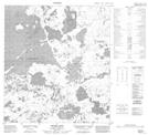
Maps showing What{18}, Northwest Territories
What{18} is a Hamlet located in Northwest Territories.
- Latitude: 63° 8' 38'' North (decimal: 63.1438888)
- Longitude: 117° 16' 22'' West (decimal: -117.2727773)
- Topography Feature Category: Hamlet
- Geographical Feature: Community government
- Canadian Province/Territory: Northwest Territories
- Atlas of Canada Locator Map: What{18}
- GPS Coordinate Locator Map: What{18} Lat/Long
What{18} NTS Map Sheets