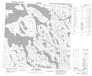
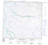
Maps showing Qikirtaaluk Island, Nunavut
Qikirtaaluk Island is a Island located in Nunavut.
- Latitude: 58° 51' 5'' North (decimal: 58.8514000)
- Longitude: 65° 53' 10'' West (decimal: -65.8861000)
- Topography Feature Category: Island
- Geographical Feature: Island
- Canadian Province/Territory: Nunavut
- Atlas of Canada Locator Map: Qikirtaaluk Island
- GPS Coordinate Locator Map: Qikirtaaluk Island Lat/Long
Qikirtaaluk Island NTS Map Sheets