Maps showing Atorquait River, Nunavut
Atorquait River is a River located in Nunavut and has an elevation of 182 meters.
- Latitude: 68° 3' North (decimal: 68.0500000)
- Longitude: 89° 34' West (decimal: -89.5667000)
- Topography Feature Category: River
- Geographical Feature: River
- Canadian Province/Territory: Nunavut
- Elevation: 182 meters
- Atlas of Canada Locator Map: Atorquait River
- GPS Coordinate Locator Map: Atorquait River Lat/Long
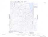
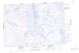
Atorquait River NTS Map Sheets
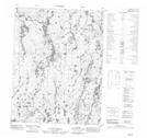
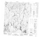
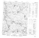
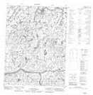
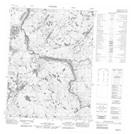
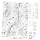
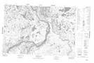
056P03 No Title Topographic Map at 1:50,000 scale
056P04 No Title Topographic Map at 1:50,000 scale
056P05 No Title Topographic Map at 1:50,000 scale
056P06 No Title Topographic Map at 1:50,000 scale
056P11 No Title Topographic Map at 1:50,000 scale
056P12 No Title Topographic Map at 1:50,000 scale
056P13 No Title Topographic Map at 1:50,000 scale
057A02 Cameron Lake Topographic Map at 1:50,000 scale
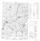
056P Ellice Hills Topographic Map at 1:250,000 scale
057A Pelly Bay Topographic Map at 1:250,000 scale