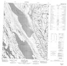
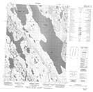
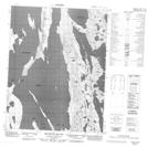
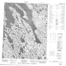
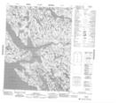
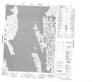
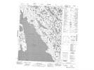
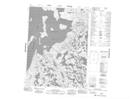
Maps showing Bathurst Inlet, Nunavut
Bathurst Inlet is a Bay located in Nunavut and has an elevation of 0 meters.
- Latitude: 67° 35' North (decimal: 67.5833000)
- Longitude: 108° 30' West (decimal: -108.5000000)
- Topography Feature Category: Bay
- Geographical Feature: Inlet
- Canadian Province/Territory: Nunavut
- Elevation: 0 meters
- Atlas of Canada Locator Map: Bathurst Inlet
- GPS Coordinate Locator Map: Bathurst Inlet Lat/Long
Bathurst Inlet NTS Map Sheets
076J11 Bear Creek Hills Topographic Map at 1:50,000 scale
076J12 Fishing Creek Topographic Map at 1:50,000 scale
076J13 Quadyuk Island Topographic Map at 1:50,000 scale
076J14 Bear Island Topographic Map at 1:50,000 scale
076K16 Bathurst Inlet Topographic Map at 1:50,000 scale
076N09 Iglorua Island Topographic Map at 1:50,000 scale
076N10 Wollaston Point Topographic Map at 1:50,000 scale
076N11 Kater Point Topographic Map at 1:50,000 scale
076N12 No Title Topographic Map at 1:50,000 scale
076N13 Galena Island Topographic Map at 1:50,000 scale
076N14 Marcet Island Topographic Map at 1:50,000 scale
076N15 No Title Topographic Map at 1:50,000 scale
076N16 Fishers Island Topographic Map at 1:50,000 scale
076O03 Gordon Bay Topographic Map at 1:50,000 scale
076O05 Kanuyak Island Topographic Map at 1:50,000 scale
076O12 Shoe Island Topographic Map at 1:50,000 scale
076O13 Buchan Bay Topographic Map at 1:50,000 scale
077A04 Hurd Islands Topographic Map at 1:50,000 scale
077B01 Porden Islands Topographic Map at 1:50,000 scale
077B02E Wilmot Islands Topographic Map at 1:50,000 scale
077B02W Wilmot Islands Topographic Map at 1:50,000 scale
076J Tinney Hills Topographic Map at 1:250,000 scale
076K Mara River Topographic Map at 1:250,000 scale
076N Arctic Sound Topographic Map at 1:250,000 scale
076O Rideout Island Topographic Map at 1:250,000 scale
077A Elu Inlet Topographic Map at 1:250,000 scale
077B Richardson Islands Topographic Map at 1:250,000 scale