077A Elu Inlet Topographic Maps
Maps for the Elu Inlet map sheet 077A at 1:250,000 scale are available in 5 versions:
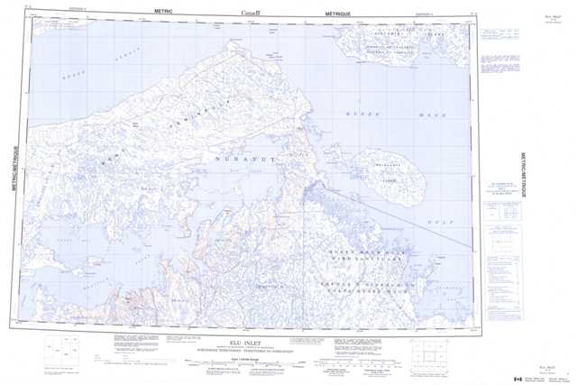
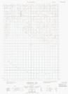
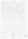
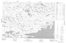
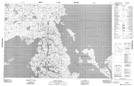
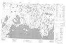
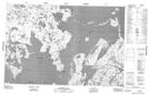
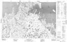
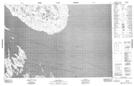
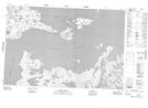
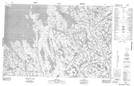
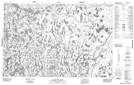
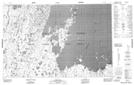
Topographic Map of Elu Inlet
1:50,000 Scale Topos for Elu Inlet 077A:
 |
 |
 |
  |
 |
 |
 |
 |
 |
 |
 |
 |
 |
 |
 |
 |
077A Related Maps:
077A Elu Inlet
077A01 Conolly Bay
077A02 Kuugaarjuk River
077A03 Hope Bay
077A04 Hurd Islands
077A05 Parry Bay
077A06 Warrender Bay
077A07 Labyrinth Bay
077A08 Dease Point
077A09 Melbourne Island
077A10 Minto Islands
077A11 Elu Inlet
077A12 No Title
077A13 Dease Strait
077A14 Cape Alexander
077A15 Cape Colborne
077A16E Anderson Bay
077A16W Anderson Bay
