Canada Topographic Maps

Bellot Strait Topo Maps

Topography maps and Latitude/Longitude Location

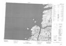
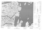
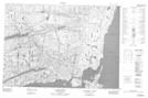
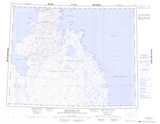
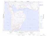
Maps showing Bellot Strait, Nunavut

Bellot Strait is a Channel located in Nunavut and has an elevation of 0 meters.

  • Latitude: 71° 59' 35'' North   (decimal: 71.9930999)
  • Longitude: 94° 48' 20'' West   (decimal: -94.8056000)
  • Topography Feature Category: Channel
  • Geographical Feature: Strait
  • Canadian Province/Territory: Nunavut
  • Elevation: 0 meters
  • Atlas of Canada Locator Map: Bellot Strait
  • GPS Coordinate Locator Map: Bellot Strait Lat/Long

Bellot Strait NTS Map Sheets

057G13 No Title Topographic Map at 1:50,000 scale

057G14 No Title Topographic Map at 1:50,000 scale

058B03 Hazard Inlet Topographic Map at 1:50,000 scale

057G Brentford Bay Topographic Map at 1:250,000 scale

058B Creswell Bay Topographic Map at 1:250,000 scale

 
Buy Topographic Maps DVD
Newsletter Sign-up

Yes, I want to receive map store discounts.


Bookmark and Share