Maps showing Ellef Ringnes Island, Nunavut
Ellef Ringnes Island is a Island located in Nunavut.
- Latitude: 78° 30' North (decimal: 78.5000000)
- Longitude: 102° 15' West (decimal: -102.2500000)
- Topography Feature Category: Island
- Geographical Feature: Island
- Canadian Province/Territory: Nunavut
- Atlas of Canada Locator Map: Ellef Ringnes Island
- GPS Coordinate Locator Map: Ellef Ringnes Island Lat/Long
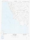
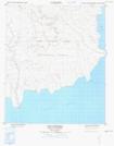
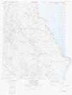
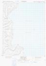
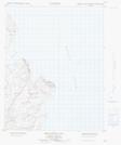
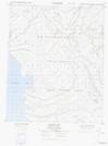
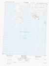
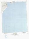
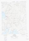
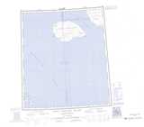
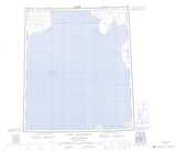
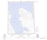
Ellef Ringnes Island NTS Map Sheets
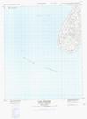
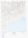
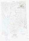
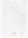
069C16 Cape Allison Topographic Map at 1:50,000 scale
069D13 Cape Nathorst Topographic Map at 1:50,000 scale
069E04 Hoodoo River Topographic Map at 1:50,000 scale
069E05 Fisher Island Topographic Map at 1:50,000 scale
069E12 Helicopter Bay Topographic Map at 1:50,000 scale
069F01 Jackson Bay Topographic Map at 1:50,000 scale
069F02 Elve Point Topographic Map at 1:50,000 scale
069F03 Campbell Point Topographic Map at 1:50,000 scale
069F04 Cape Thorstein Topographic Map at 1:50,000 scale
069F05 Dome Bay Topographic Map at 1:50,000 scale
069F06 Isachsen Dome Topographic Map at 1:50,000 scale
069F07 Transection River Topographic Map at 1:50,000 scale
069F08 Divergent River Topographic Map at 1:50,000 scale
069F09 Contour River Topographic Map at 1:50,000 scale
069F10 Dumbbells Dome Topographic Map at 1:50,000 scale
069F11 Baker Hill Topographic Map at 1:50,000 scale
069F12 Station Bay Topographic Map at 1:50,000 scale
069F13 Isachsen Topographic Map at 1:50,000 scale
069F14 Louise Fiord Topographic Map at 1:50,000 scale
069C King Christian Island Topographic Map at 1:250,000 scale
069D Cape Nathorst Topographic Map at 1:250,000 scale
069E Hassel Sound Topographic Map at 1:250,000 scale
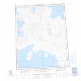
069F Ellef Ringnes Island Topographic Map at 1:250,000 scale