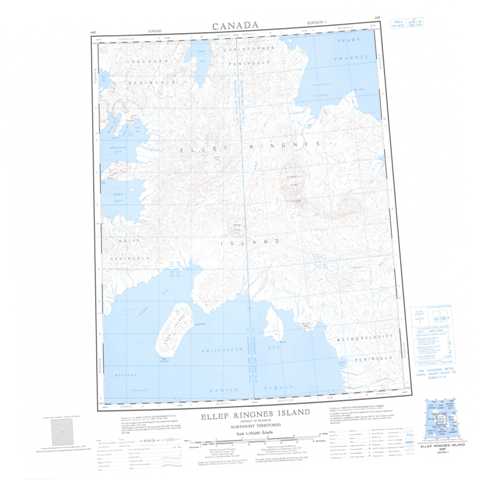
069F Ellef Ringnes Island Topographic Maps
Maps for the Ellef Ringnes Island map sheet 069F at 1:250,000 scale are available in 5 versions:
Topographic Map of Ellef Ringnes Island
1:50,000 Scale Topos for Ellef Ringnes Island 069F:
 |
 |
 |
 |
 |
 |
 |
 |
 |
 |
 |
 |
 |
 |
 |
 |
069F Related Maps:
069F Ellef Ringnes Island
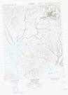
069F01 Jackson Bay
069F02 Elve Point
069F03 Campbell Point
069F04 Cape Thorstein
069F05 Dome Bay
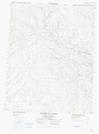
069F06 Isachsen Dome
069F07 Transection River
069F08 Divergent River
069F09 Contour River
069F10 Dumbbells Dome
069F11 Baker Hill
069F12 Station Bay
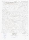
069F13 Isachsen
069F14 Louise Fiord
069F15 Haakon Fiord
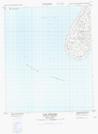
069F16 Cape Cairo
069F01 Jackson Bay
069F02 Elve Point
069F03 Campbell Point
069F04 Cape Thorstein
069F05 Dome Bay
069F06 Isachsen Dome
069F07 Transection River
069F08 Divergent River
069F09 Contour River
069F10 Dumbbells Dome
069F11 Baker Hill
069F12 Station Bay
069F13 Isachsen
069F14 Louise Fiord
069F15 Haakon Fiord
069F16 Cape Cairo
