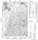
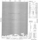
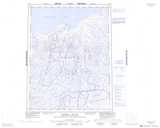
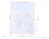
Maps showing Port Epworth, Nunavut
Port Epworth is a Marine navigation feature located in Nunavut.
- Latitude: 67° 45' North (decimal: 67.7499999)
- Longitude: 111° 57' West (decimal: -111.9499999)
- Topography Feature Category: Marine navigation feature
- Geographical Feature: Port
- Canadian Province/Territory: Nunavut
- Atlas of Canada Locator Map: Port Epworth
- GPS Coordinate Locator Map: Port Epworth Lat/Long
Port Epworth NTS Map Sheets