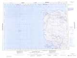
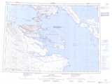
Maps showing Fury and Hecla Channel, Nunavut
Fury and Hecla Channel is a Channel located in Nunavut.
- Latitude: 69° 54' North (decimal: 69.8999999)
- Longitude: 84° 00' West (decimal: -83.9999999)
- Topography Feature Category: Channel
- Geographical Feature: Channel
- Canadian Province/Territory: Nunavut
- Atlas of Canada Locator Map: Fury and Hecla Channel
- GPS Coordinate Locator Map: Fury and Hecla Channel Lat/Long
Fury and Hecla Channel NTS Map Sheets