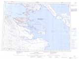
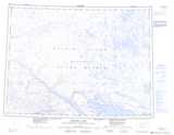
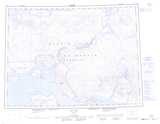
Maps showing Fury and Hecla Strait, Nunavut
Fury and Hecla Strait is a Channel located in Nunavut and has an elevation of 0 meters.
- Latitude: 69° 50' North (decimal: 69.8333328)
- Longitude: 83° 0' West (decimal: -83)
- Topography Feature Category: Channel
- Geographical Feature: Strait
- Canadian Province/Territory: Nunavut
- Elevation: 0 meters
- Atlas of Canada Locator Map: Fury and Hecla Strait
- GPS Coordinate Locator Map: Fury and Hecla Strait Lat/Long
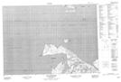
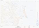
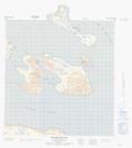
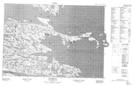
Fury and Hecla Strait NTS Map Sheets
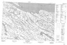
047C15 Cape Englefield Topographic Map at 1:50,000 scale
047C16 East Cape Topographic Map at 1:50,000 scale
047D02 Pinger Point Topographic Map at 1:50,000 scale
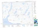
047D07 Igloolik Island Topographic Map at 1:50,000 scale
047D11 Richards Bay Topographic Map at 1:50,000 scale
047D12 Quilliam Bay Topographic Map at 1:50,000 scale
047F01 Whyte Inlet Topographic Map at 1:50,000 scale
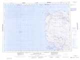
047C Encampment Bay Topographic Map at 1:250,000 scale
047D Igloolik Topographic Map at 1:250,000 scale
047E Erichsen Lake Topographic Map at 1:250,000 scale
047F Agu Bay Topographic Map at 1:250,000 scale