Maps showing James Bay, Nunavut
James Bay is a Bay located in Nunavut.
- Latitude: 53° 5' North (decimal: 53.0833000)
- Longitude: 80° 35' West (decimal: -80.5833000)
- Topography Feature Category: Bay
- Geographical Feature: Bay
- Canadian Province/Territory: Nunavut
- Atlas of Canada Locator Map: James Bay
- GPS Coordinate Locator Map: James Bay Lat/Long
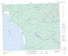
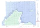
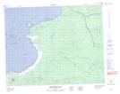
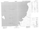
James Bay NTS Map Sheets
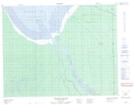
032M04 Francis Island Topographic Map at 1:50,000 scale
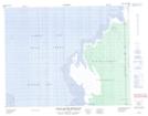
032M05 Petite Riviere Missisicabi Topographic Map at 1:50,000 scale
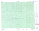
032M06 Riviere Octave Topographic Map at 1:50,000 scale
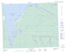
032M07 Fort-Rupert Topographic Map at 1:50,000 scale
032M10 Pointe Du Bois Brule Topographic Map at 1:50,000 scale
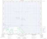
032M11 Cabbage Willows Bay Topographic Map at 1:50,000 scale
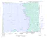
032M15 Boatswain Bay Topographic Map at 1:50,000 scale
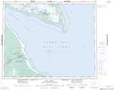
033D02 Eastmain Topographic Map at 1:50,000 scale
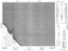
043H02 No Title Topographic Map at 1:50,000 scale
032M Fort-Rupert Topographic Map at 1:250,000 scale
033D Eastmain Topographic Map at 1:250,000 scale
043A Fort Albany Topographic Map at 1:250,000 scale
043H Akimiski Island North Topographic Map at 1:250,000 scale
043I Bear Island Topographic Map at 1:250,000 scale