Maps showing James River, Nunavut
James River is a River located in Nunavut and has an elevation of 33 meters.
- Latitude: 67° 13' North (decimal: 67.2166999)
- Longitude: 108° 47' West (decimal: -108.7832999)
- Topography Feature Category: River
- Geographical Feature: River
- Canadian Province/Territory: Nunavut
- Elevation: 33 meters
- Atlas of Canada Locator Map: James River
- GPS Coordinate Locator Map: James River Lat/Long
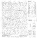
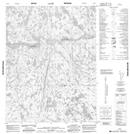
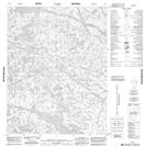
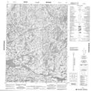
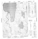
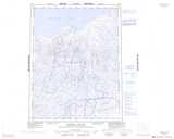
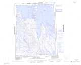
James River NTS Map Sheets
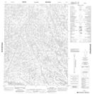
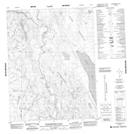
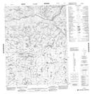
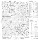
076M01 No Title Topographic Map at 1:50,000 scale
076M02 No Title Topographic Map at 1:50,000 scale
076M03 No Title Topographic Map at 1:50,000 scale
076M05 No Title Topographic Map at 1:50,000 scale
076M06 No Title Topographic Map at 1:50,000 scale
076N02 Wilberforce Falls Topographic Map at 1:50,000 scale
076N03 No Title Topographic Map at 1:50,000 scale
076N04 No Title Topographic Map at 1:50,000 scale
076N07 Baillie Bay Topographic Map at 1:50,000 scale
076M Hepburn Island Topographic Map at 1:250,000 scale
076N Arctic Sound Topographic Map at 1:250,000 scale