Canada Topographic Maps

Laddie Harbour Topo Maps

Topography maps and Latitude/Longitude Location

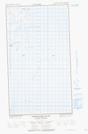
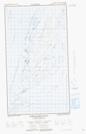
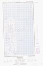
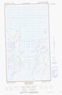
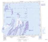
Maps showing Laddie Harbour, Nunavut

Laddie Harbour is a Bay located in Nunavut.

  • Latitude: 56° 15' 30'' North   (decimal: 56.2582999)
  • Longitude: 78° 40' 0'' West   (decimal: -78.6666999)
  • Topography Feature Category: Bay
  • Geographical Feature: Harbour
  • Canadian Province/Territory: Nunavut
  • Atlas of Canada Locator Map: Laddie Harbour
  • GPS Coordinate Locator Map: Laddie Harbour Lat/Long

Laddie Harbour NTS Map Sheets

034D02E Fairweather Sound Topographic Map at 1:50,000 scale

034D02W Fairweather Sound Topographic Map at 1:50,000 scale

034D07E Cape Bartlett Topographic Map at 1:50,000 scale

034D07W Cape Bartlett Topographic Map at 1:50,000 scale

034D Tukarak Island Topographic Map at 1:250,000 scale

 
Buy Topographic Maps DVD
Newsletter Sign-up

Yes, I want to receive map store discounts.


Bookmark and Share