Maps showing Lyon Inlet, Nunavut
Lyon Inlet is a Bay located in Nunavut.
- Latitude: 66° 32' North (decimal: 66.5333000)
- Longitude: 83° 53' West (decimal: -83.8833000)
- Topography Feature Category: Bay
- Geographical Feature: Inlet
- Canadian Province/Territory: Nunavut
- Atlas of Canada Locator Map: Lyon Inlet
- GPS Coordinate Locator Map: Lyon Inlet Lat/Long
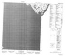
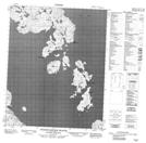
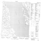
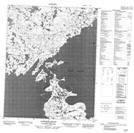
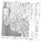
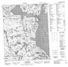
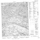
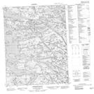
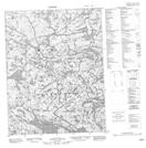
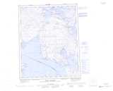
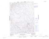
Lyon Inlet NTS Map Sheets
046J03 Winter Island Topographic Map at 1:50,000 scale
046J04 Sturges Bourne Island Topographic Map at 1:50,000 scale
046J05 Allison Bluff Topographic Map at 1:50,000 scale
046J06 Hoppner Strait Topographic Map at 1:50,000 scale
046J12 Bay Of Shoals Topographic Map at 1:50,000 scale
046K09 Cape Reid Topographic Map at 1:50,000 scale
046K15 Sherer Inlet Topographic Map at 1:50,000 scale
046K16 Norman Inlet Topographic Map at 1:50,000 scale
046N02 Tuurvik Lake Topographic Map at 1:50,000 scale
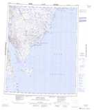
046J Winter Island Topographic Map at 1:250,000 scale
046K Hurd Channel Topographic Map at 1:250,000 scale
046N Miertsching Lake Topographic Map at 1:250,000 scale