Canada Topographic Maps

Matheson River Topo Maps

Topography maps and Latitude/Longitude Location

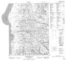
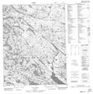
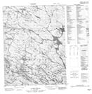
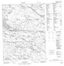
Maps showing Matheson River, Nunavut

Matheson River is a River located in Nunavut.

  • Latitude: 67° 36' 10'' North   (decimal: 67.6028000)
  • Longitude: 86° 27' 40'' West   (decimal: -86.4610999)
  • Topography Feature Category: River
  • Geographical Feature: River
  • Canadian Province/Territory: Nunavut
  • Atlas of Canada Locator Map: Matheson River
  • GPS Coordinate Locator Map: Matheson River Lat/Long

Matheson River NTS Map Sheets

046M09 Matheson River Topographic Map at 1:50,000 scale

046N05 No Title Topographic Map at 1:50,000 scale

046N06 No Title Topographic Map at 1:50,000 scale

046N11 No Title Topographic Map at 1:50,000 scale

046N12 No Title Topographic Map at 1:50,000 scale

046M Lefroy Bay Topographic Map at 1:250,000 scale

046N Miertsching Lake Topographic Map at 1:250,000 scale

 
Buy Topographic Maps DVD
Newsletter Sign-up

Yes, I want to receive map store discounts.


Bookmark and Share