Maps showing Parry Bay, Nunavut
Parry Bay is a Bay located in Nunavut.
- Latitude: 68° 6' North (decimal: 68.0999998)
- Longitude: 81° 40' West (decimal: -81.6666668)
- Topography Feature Category: Bay
- Geographical Feature: Bay
- Canadian Province/Territory: Nunavut
- Atlas of Canada Locator Map: Parry Bay
- GPS Coordinate Locator Map: Parry Bay Lat/Long
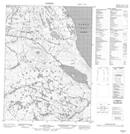
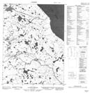
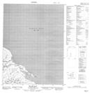
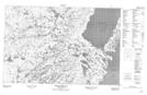
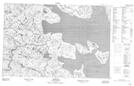
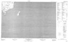
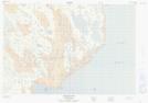
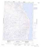
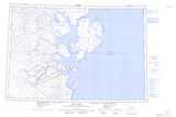
Parry Bay NTS Map Sheets
046O16 No Title Topographic Map at 1:50,000 scale
046P12 No Title Topographic Map at 1:50,000 scale
046P13 Mccaig Bay Topographic Map at 1:50,000 scale
047A02 No Title Topographic Map at 1:50,000 scale
047A03 Amitoke Peninsula Topographic Map at 1:50,000 scale
047A06 Roche Bay Topographic Map at 1:50,000 scale
047A07 South Ooglit Island Topographic Map at 1:50,000 scale
047A10 Iligliak Point Topographic Map at 1:50,000 scale
046O Barrow River Topographic Map at 1:250,000 scale
047A Hall Lake Topographic Map at 1:250,000 scale
046P Map Not Available Topographic Map at 1:250,000 scale