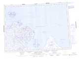
Maps showing Pelly Bay, Nunavut
Pelly Bay is a Bay located in Nunavut and has an elevation of 0 meters.
- Latitude: 68° 53' North (decimal: 68.8833000)
- Longitude: 90° 5' West (decimal: -90.0833000)
- Topography Feature Category: Bay
- Geographical Feature: Bay
- Canadian Province/Territory: Nunavut
- Elevation: 0 meters
- Atlas of Canada Locator Map: Pelly Bay
- GPS Coordinate Locator Map: Pelly Bay Lat/Long
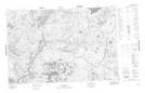
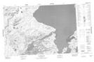
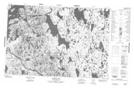
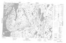
Pelly Bay NTS Map Sheets
057A03 No Title Topographic Map at 1:50,000 scale
057A06 De Stael Point Topographic Map at 1:50,000 scale
057A07 Barrow Lake Topographic Map at 1:50,000 scale
057A10 Login Bay Topographic Map at 1:50,000 scale
057A11 Becher River Topographic Map at 1:50,000 scale
057A14 No Title Topographic Map at 1:50,000 scale
057A15 No Title Topographic Map at 1:50,000 scale
057D02 Hill Point Topographic Map at 1:50,000 scale
057D03 Cape Berens Topographic Map at 1:50,000 scale
057D05 No Title Topographic Map at 1:50,000 scale
057D06 No Title Topographic Map at 1:50,000 scale
057A Pelly Bay Topographic Map at 1:250,000 scale
057D Harrison Islands Topographic Map at 1:250,000 scale