Canada Topographic Maps

Ponds Inlet Topo Maps

Topography maps and Latitude/Longitude Location

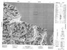
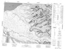
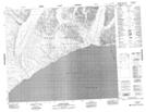
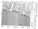
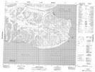
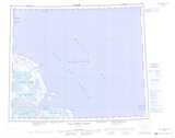
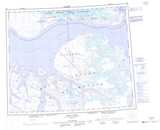
Maps showing Ponds Inlet, Nunavut

Ponds Inlet is a Bay located in Nunavut.

  • Latitude: 72° 48' North   (decimal: 72.7999999)
  • Longitude: 77° 0' West   (decimal: -77.0000000)
  • Topography Feature Category: Bay
  • Geographical Feature: Inlet
  • Canadian Province/Territory: Nunavut
  • GPS Coordinate Locator Map: Ponds Inlet Lat/Long

Ponds Inlet NTS Map Sheets

038B09 Erik Harbour Topographic Map at 1:50,000 scale

038B10 Pond Inlet Topographic Map at 1:50,000 scale

038B14 Aktineq Creek Topographic Map at 1:50,000 scale

038B15 Beloeil Island Topographic Map at 1:50,000 scale

038B16 Mount St Hans Topographic Map at 1:50,000 scale

038A Nova Zembla Island Topographic Map at 1:250,000 scale

038B Pond Inlet Topographic Map at 1:250,000 scale

 
Buy Topographic Maps DVD
Newsletter Sign-up

Yes, I want to receive map store discounts.


Bookmark and Share