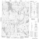
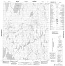
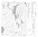
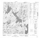
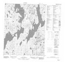
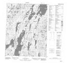
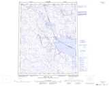
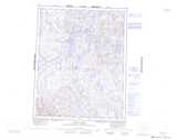
Maps showing Qamanialuk Lakes, Nunavut
Qamanialuk Lakes is a Lake located in Nunavut.
- Latitude: 66° 38' North (decimal: 66.6332999)
- Longitude: 88° 15' West (decimal: -88.2500000)
- Topography Feature Category: Lake
- Geographical Feature: Lake
- Canadian Province/Territory: Nunavut
- Atlas of Canada Locator Map: Qamanialuk Lakes
- GPS Coordinate Locator Map: Qamanialuk Lakes Lat/Long
Qamanialuk Lakes NTS Map Sheets
046L05 No Title Topographic Map at 1:50,000 scale
046L12 No Title Topographic Map at 1:50,000 scale
056I08 No Title Topographic Map at 1:50,000 scale
056I09 No Title Topographic Map at 1:50,000 scale
056I10 No Title Topographic Map at 1:50,000 scale
056I15 No Title Topographic Map at 1:50,000 scale
046L Repulse Bay Topographic Map at 1:250,000 scale
056I Curtis Lake Topographic Map at 1:250,000 scale