Maps showing St. Roch Basin, Nunavut
St. Roch Basin is a Channel located in Nunavut.
- Latitude: 69° 15' North (decimal: 69.2499999)
- Longitude: 95° 00' West (decimal: -94.9999999)
- Topography Feature Category: Channel
- Geographical Feature: Basin
- Canadian Province/Territory: Nunavut
- Atlas of Canada Locator Map: St. Roch Basin
- GPS Coordinate Locator Map: St. Roch Basin Lat/Long
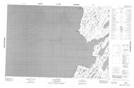
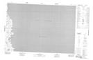
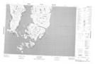
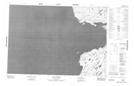
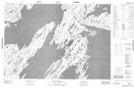
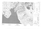
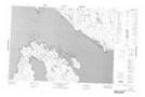
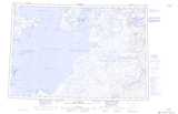
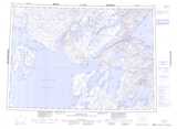
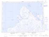
St. Roch Basin NTS Map Sheets
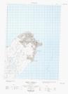
057B13E Gibson Peninsula Topographic Map at 1:50,000 scale
057B13W Gibson Peninsula Topographic Map at 1:50,000 scale
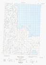
057B14 Beads Island Topographic Map at 1:50,000 scale
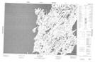
057C02 No Title Topographic Map at 1:50,000 scale
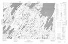
057C03 Cape Porter Topographic Map at 1:50,000 scale
057C04 Latrobe Bay Topographic Map at 1:50,000 scale
057C05 Cape Hardy Topographic Map at 1:50,000 scale
057C06 Cape Farrar Topographic Map at 1:50,000 scale
057C07 Cape Isabella Topographic Map at 1:50,000 scale
057C10 Stanners Harbour Topographic Map at 1:50,000 scale
057C11 Artists Bay Topographic Map at 1:50,000 scale
057C12 Cape Maria Da Gloria Topographic Map at 1:50,000 scale
057B Rae Strait Topographic Map at 1:250,000 scale
057C Spence Bay Topographic Map at 1:250,000 scale
067D Cape Felix Topographic Map at 1:250,000 scale