Maps showing Tingmeak River, Nunavut
Tingmeak River is a River located in Nunavut and has an elevation of 39 meters.
- Latitude: 68° 15' North (decimal: 68.2499999)
- Longitude: 104° 59' West (decimal: -104.9833000)
- Topography Feature Category: River
- Geographical Feature: River
- Canadian Province/Territory: Nunavut
- Elevation: 39 meters
- Atlas of Canada Locator Map: Tingmeak River
- GPS Coordinate Locator Map: Tingmeak River Lat/Long
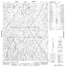
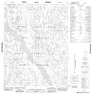
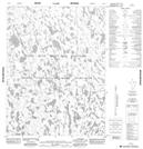
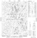
Tingmeak River NTS Map Sheets
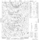
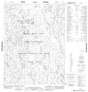
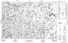
076P02 No Title Topographic Map at 1:50,000 scale
076P03 No Title Topographic Map at 1:50,000 scale
076P06 No Title Topographic Map at 1:50,000 scale
076P07 No Title Topographic Map at 1:50,000 scale
076P10 No Title Topographic Map at 1:50,000 scale
076P11 No Title Topographic Map at 1:50,000 scale
076P14 No Title Topographic Map at 1:50,000 scale
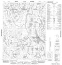
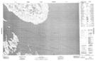
077A01 Conolly Bay Topographic Map at 1:50,000 scale
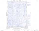
077A02 Kuugaarjuk River Topographic Map at 1:50,000 scale
077A08 Dease Point Topographic Map at 1:50,000 scale
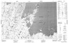
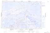
076P Brichta Lake Topographic Map at 1:250,000 scale
077A Elu Inlet Topographic Map at 1:250,000 scale