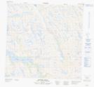
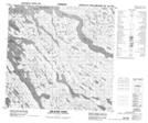
Maps showing Weymouth Inlet, Nunavut
Weymouth Inlet is a Bay located in Nunavut.
- Latitude: 59° 17' 50'' North (decimal: 59.2972000)
- Longitude: 65° 22' 45'' West (decimal: -65.3792000)
- Topography Feature Category: Bay
- Geographical Feature: Inlet
- Canadian Province/Territory: Nunavut
- Atlas of Canada Locator Map: Weymouth Inlet
- GPS Coordinate Locator Map: Weymouth Inlet Lat/Long
Weymouth Inlet NTS Map Sheets