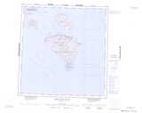
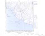
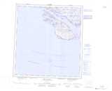
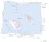
Maps showing Détroit d'Hudson, Nunavut
Détroit d'Hudson is a Channel located in Nunavut.
- Latitude: 62° 0' North (decimal: 62.0000000)
- Longitude: 70° 0' West (decimal: -70.0000000)
- Topography Feature Category: Channel
- Geographical Feature: Détroit
- Canadian Province/Territory: Nunavut
- Atlas of Canada Locator Map: Détroit d'Hudson
- GPS Coordinate Locator Map: Détroit d'Hudson Lat/Long
Détroit d'Hudson NTS Map Sheets
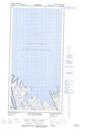
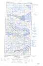
025A10E Button Islands Topographic Map at 1:50,000 scale
025A10W Button Islands Topographic Map at 1:50,000 scale
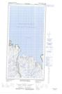
025E01E Pointe Jean-Talon Topographic Map at 1:50,000 scale
025E01W Pointe Jean-Talon Topographic Map at 1:50,000 scale
025E02E Pointe De Tracy Topographic Map at 1:50,000 scale
025E02W Pointe De Tracy Topographic Map at 1:50,000 scale
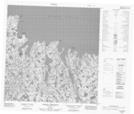
025E03 Pointe Upirngivik Topographic Map at 1:50,000 scale
025E05E Whitley Bay Topographic Map at 1:50,000 scale
025E05W Whitley Bay Topographic Map at 1:50,000 scale
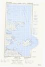
025E12 Kangiqsujuaq Topographic Map at 1:50,000 scale
025F04 Quaqtaq Topographic Map at 1:50,000 scale
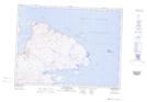
025A Grenfell Sound Topographic Map at 1:250,000 scale
025E Kangiqsujuaq Topographic Map at 1:250,000 scale
025H Resolution Island Topographic Map at 1:250,000 scale
025K Lake Harbour Topographic Map at 1:250,000 scale
025L Big Island Topographic Map at 1:250,000 scale
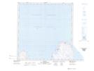
035N Nottingham Island Topographic Map at 1:250,000 scale
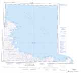
035P Macdonald Island Topographic Map at 1:250,000 scale
025F Map Not Available Topographic Map at 1:250,000 scale