Canada Topographic Maps

Nalluarjuk Lake Topo Maps

Topography maps and Latitude/Longitude Location

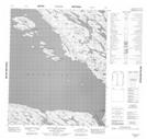
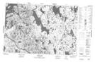
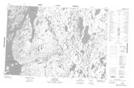
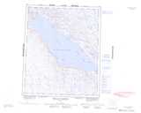
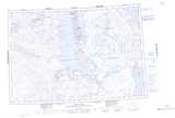
Maps showing Nalluarjuk Lake, Nunavut

Nalluarjuk Lake is a Lake located in Nunavut.

  • Latitude: 68° 28' 20'' North   (decimal: 68.4721999)
  • Longitude: 89° 17' 00'' West   (decimal: -89.2833000)
  • Topography Feature Category: Lake
  • Geographical Feature: Lake
  • Canadian Province/Territory: Nunavut
  • Atlas of Canada Locator Map: Nalluarjuk Lake
  • GPS Coordinate Locator Map: Nalluarjuk Lake Lat/Long

Nalluarjuk Lake NTS Map Sheets

056H08 Nuvudlik Island Topographic Map at 1:50,000 scale

057A07 Barrow Lake Topographic Map at 1:50,000 scale

057A10 Login Bay Topographic Map at 1:50,000 scale

056H Douglas Harbour Topographic Map at 1:250,000 scale

057A Pelly Bay Topographic Map at 1:250,000 scale

 
Buy Topographic Maps DVD
Newsletter Sign-up

Yes, I want to receive map store discounts.


Bookmark and Share