Maps showing Akpait Fiord, Nunavut
Akpait Fiord is a Bay located in Nunavut.
- Latitude: 66° 53' 19'' North (decimal: 66.8886000)
- Longitude: 61° 53' 34'' West (decimal: -61.8928000)
- Topography Feature Category: Bay
- Geographical Feature: Fiord
- Canadian Province/Territory: Nunavut
- Atlas of Canada Locator Map: Akpait Fiord
- GPS Coordinate Locator Map: Akpait Fiord Lat/Long
Akpait Fiord NTS Map Sheets
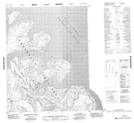
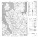
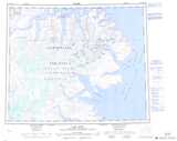
016K Map Not Available Topographic Map at 1:250,000 scale
