Canada Topographic Maps

Anderson Creek Topo Maps

Topography maps and Latitude/Longitude Location

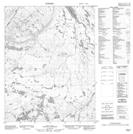
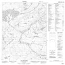
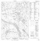
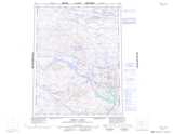
Maps showing Anderson Creek, Nunavut

Anderson Creek is a River located in Nunavut.

  • Latitude: 67° 13' 50'' North   (decimal: 67.2305999)
  • Longitude: 116° 55' 40'' West   (decimal: -116.9278000)
  • Topography Feature Category: River
  • Geographical Feature: Creek
  • Canadian Province/Territory: Nunavut
  • Atlas of Canada Locator Map: Anderson Creek
  • GPS Coordinate Locator Map: Anderson Creek Lat/Long

Anderson Creek NTS Map Sheets

086N02 No Title Topographic Map at 1:50,000 scale

086N03 Lac Rouviere Topographic Map at 1:50,000 scale

086N07 Teshierpi Mountain Topographic Map at 1:50,000 scale

086N Dismal Lakes Topographic Map at 1:250,000 scale

 
Buy Topographic Maps DVD
Newsletter Sign-up

Yes, I want to receive map store discounts.


Bookmark and Share