Canada Topographic Maps

Kugaluk River Topo Maps

Topography maps and Latitude/Longitude Location

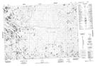
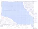
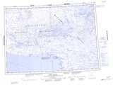
Maps showing Kugaluk River, Nunavut

Kugaluk River is a River located in Nunavut.

  • Latitude: 69° 38' 30'' North   (decimal: 69.6417000)
  • Longitude: 116° 49' 30'' West   (decimal: -116.8250000)
  • Topography Feature Category: River
  • Geographical Feature: River
  • Canadian Province/Territory: Nunavut
  • Atlas of Canada Locator Map: Kugaluk River
  • GPS Coordinate Locator Map: Kugaluk River Lat/Long

Kugaluk River NTS Map Sheets

087C09 Singialuk Peninsula Topographic Map at 1:50,000 scale

087C16 No Title Topographic Map at 1:50,000 scale

087D12 No Title Topographic Map at 1:50,000 scale

087D13 No Title Topographic Map at 1:50,000 scale

087D14 No Title Topographic Map at 1:50,000 scale

087C Penny Bay Topographic Map at 1:250,000 scale

087D Read Island Topographic Map at 1:250,000 scale

 
Buy Topographic Maps DVD
Newsletter Sign-up

Yes, I want to receive map store discounts.


Bookmark and Share