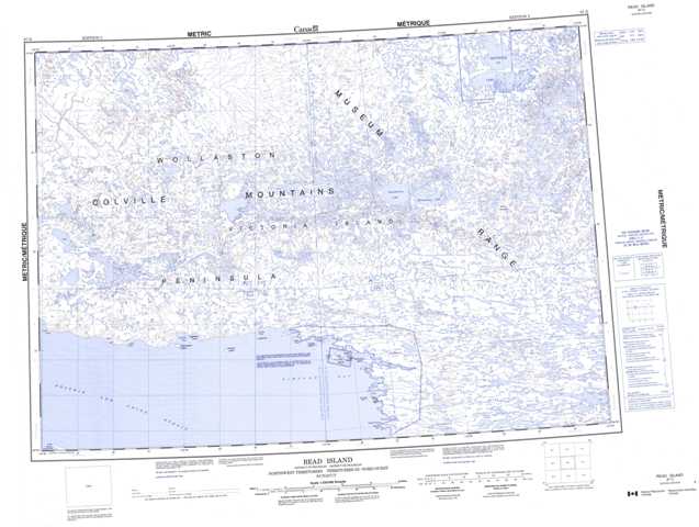
087D Read Island Topographic Maps
Maps for the Read Island map sheet 087D at 1:250,000 scale are available in 5 versions:
Topographic Map of Read Island
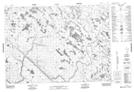
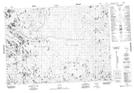
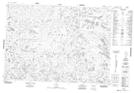
1:50,000 Scale Topos for Read Island 087D:
 |
 |
 |
 |
 |
 |
 |
 |
 |
 |
 |
 |
 |
 |
087D Related Maps:
087D Read Island
087D01 No Title
087D02 Knut Lang Island
087D05 Innirit Hills
087D06 Ipiullik Point
087D07 Tuttuturaq Lake
087D08 No Title
087D09 Mount Bumpus
087D10 Ammalurtuq Lake
087D11 No Title
087D12 No Title
087D13 No Title
087D14 No Title
087D15 No Title
087D16 Quunnguq Lake
087D01 No Title
087D02 Knut Lang Island
087D05 Innirit Hills
087D06 Ipiullik Point
087D07 Tuttuturaq Lake
087D08 No Title
087D09 Mount Bumpus
087D10 Ammalurtuq Lake
087D11 No Title
087D12 No Title
087D13 No Title
087D14 No Title
087D15 No Title
087D16 Quunnguq Lake
