Maps showing Thelon River, Keewatin, Nunavut
Thelon River is a River located in Keewatin, Nunavut and has an elevation of 42 meters.
- Latitude: 64° 16' 30'' North (decimal: 64.2749999)
- Longitude: 96° 4' 35'' West (decimal: -96.0764000)
- Topography Feature Category: River
- Geographical Feature: River
- Canadian Province/Territory: Nunavut
- Elevation: 42 meters
- Location: Keewatin
- Atlas of Canada Locator Map: Thelon River
- GPS Coordinate Locator Map: Thelon River Lat/Long
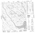
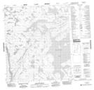
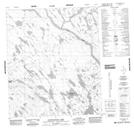
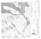
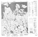
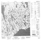
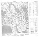
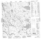
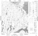
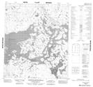
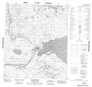
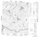
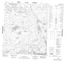
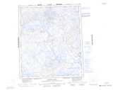
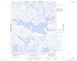
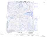
Thelon River NTS Map Sheets
066A08 Baker Lake Topographic Map at 1:50,000 scale
066A09 Half Way Hills Topographic Map at 1:50,000 scale
066A10 Ayaktuukvik Lake Topographic Map at 1:50,000 scale
066A11 Akitit Hill Topographic Map at 1:50,000 scale
066A12 Aggattalik Narrows Topographic Map at 1:50,000 scale
066A13 Whalebone Hill Topographic Map at 1:50,000 scale
066A14 No Title Topographic Map at 1:50,000 scale
066A15 Aleksektok Rapids Topographic Map at 1:50,000 scale
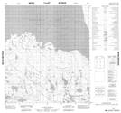
066B06 No Title Topographic Map at 1:50,000 scale
066B07 No Title Topographic Map at 1:50,000 scale
066B09 Qamanaugaq Bay Topographic Map at 1:50,000 scale
066B10 No Title Topographic Map at 1:50,000 scale
066B11 Koangok Narrows Topographic Map at 1:50,000 scale
066B12 No Title Topographic Map at 1:50,000 scale
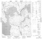
066C04 No Title Topographic Map at 1:50,000 scale
066C05 Ursus Islands Topographic Map at 1:50,000 scale
066C09 Isarurjuaq Peninsula Topographic Map at 1:50,000 scale
066C10 Hoare Point Topographic Map at 1:50,000 scale
066C11 Thelon Bluffs Topographic Map at 1:50,000 scale
066C12 No Title Topographic Map at 1:50,000 scale
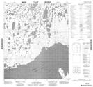
066A Schultz Lake Topographic Map at 1:250,000 scale
066B Aberdeen Lake Topographic Map at 1:250,000 scale
066C Beverly Lake Topographic Map at 1:250,000 scale