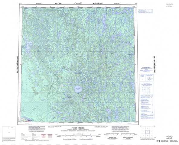
075D Fort Smith Topographic Maps
Maps for the Fort Smith map sheet 075D at 1:250,000 scale are available in 5 versions:
Topographic Map of Fort Smith
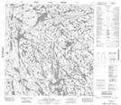
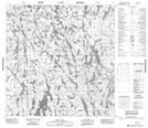
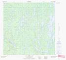
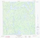
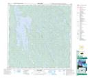
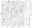
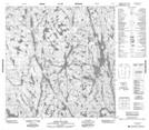
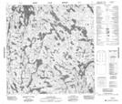
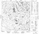
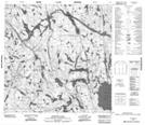
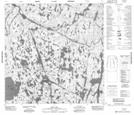
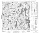
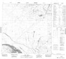
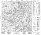
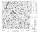
1:50,000 Scale Topos for Fort Smith 075D:
 |
 |
 |
 |
 |
 |
 |
 |
 |
 |
 |
 |
 |
 |
 |
 |
075D Related Maps:
075D Fort Smith
075D01 Largepike Lake
075D02 Hanging Ice Lake
075D03 Schaefer Lakes
075D04 Fort Smith
075D05 Mistigi Lake
075D06 Methleka Lake
075D07 Star Lake
075D08 Bedodid Lake
075D09 Soulier Lake
075D10 Benna Thy Lake
075D11 Champagne Lakes
075D12 Tsu Lake
075D13 Tortuous Lake
075D14 Fork Lake
075D15 Lady Grey Lake
075D16 Bigpine Narrows
