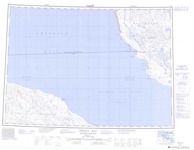
087C Penny Bay Topographic Maps
Maps for the Penny Bay map sheet 087C at 1:250,000 scale are available in 5 versions:
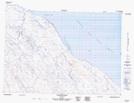
Topographic Map of Penny Bay
1:50,000 Scale Topos for Penny Bay 087C:
 |
 |
||
 |
 |
||
 |
 |
||
 |
 |
087C Related Maps:
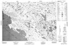
087C Penny Bay
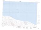
087C03 Clifton Point
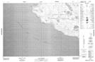
087C04 Croker River
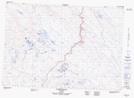
087C05 Tinney Point
087C08 Cape Hamilton
087C09 Singialuk Peninsula
087C10 Bell Island
087C15 Cape Larsen
087C16 No Title
087C03 Clifton Point
087C04 Croker River
087C05 Tinney Point
087C08 Cape Hamilton
087C09 Singialuk Peninsula
087C10 Bell Island
087C15 Cape Larsen
087C16 No Title
