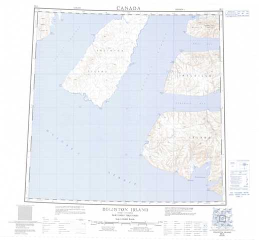
088G Eglinton Island Topographic Maps
Maps for the Eglinton Island map sheet 088G at 1:250,000 scale are available in 5 versions:
Topographic Map of Eglinton Island
1:50,000 Scale Topos for Eglinton Island 088G:
 |
 |
||
 |
|||
 |
 |
||
 |
 |
088G Related Maps:
088G Eglinton Island
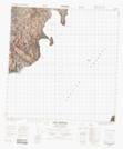
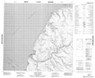
088G01 Warrington Bay
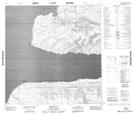
088G02 No Title
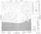
088G07 Kelly Point
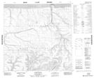
088G08 Giddy River
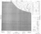
088G09 No Title
088G13 Cape Frederick
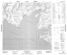
088G16 Ibbett Bay
088G01 Warrington Bay
088G02 No Title
088G07 Kelly Point
088G08 Giddy River
088G09 No Title
088G13 Cape Frederick
088G16 Ibbett Bay
