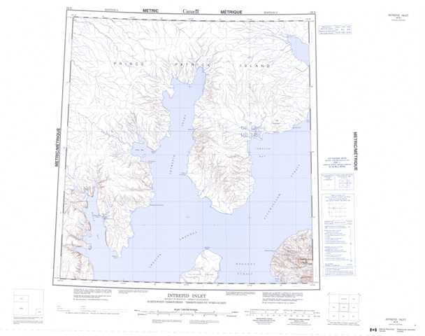
089B Intrepid Inlet Topographic Maps
Maps for the Intrepid Inlet map sheet 089B at 1:250,000 scale are available in 5 versions:
Topographic Map of Intrepid Inlet
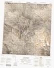
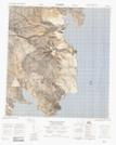
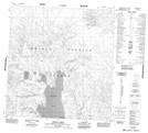
1:50,000 Scale Topos for Intrepid Inlet 089B:
 |
 |
||
 |
 |
||
 |
 |
 |
089B Related Maps:
089B Intrepid Inlet
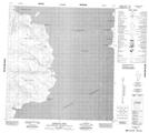
089B01 Cape De Bray
089B03 No Title
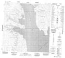
089B04 Mould Bay
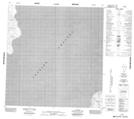
089B05 Station Creek
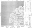
089B06 Snowpatch Point
089B11 No Title
089B12 No Title
089B01 Cape De Bray
089B03 No Title
089B04 Mould Bay
089B05 Station Creek
089B06 Snowpatch Point
089B11 No Title
089B12 No Title
