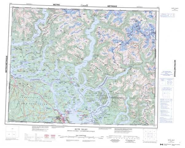
092K Bute Inlet Topographic Maps
Maps for the Bute Inlet map sheet 092K at 1:250,000 scale are available in 5 versions:
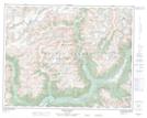
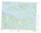
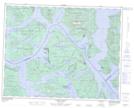
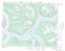
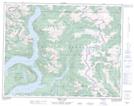
Topographic Map of Bute Inlet
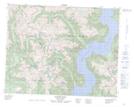
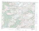
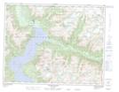
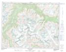
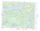
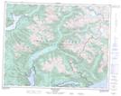
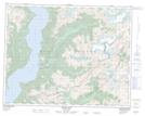
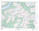
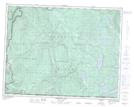
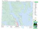
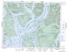
1:50,000 Scale Topos for Bute Inlet 092K:
 |
 |
 |
 |
 |
 |
 |
 |
 |
 |
 |
 |
 |
 |
 |
 |
092K Related Maps:
092K Bute Inlet
092K01 Powell Lake
092K02 Desolation Sound
092K03 Quadra Island
092K04 Brewster Lake
092K05 Sayward
092K06 Sonora Island
092K07 Toba Inlet
092K08 Little Toba River
092K09 Mount Argyll
092K10 Orford River
092K11 Phillips River
092K12 Glendale Cove
092K13 Knight Inlet
092K14 Stafford River
092K15 Southgate River
092K16 Mount Gilbert
