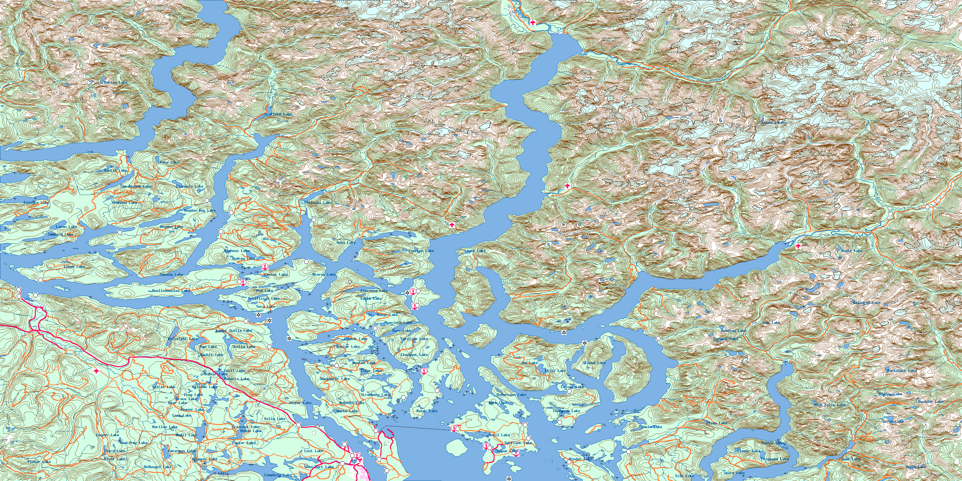
Canada Topographic Maps

Bute Inlet Topo Map

Free Topo Maps Downloadable Online: 092K

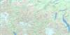
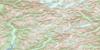
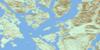
092K Bute Inlet Topo Map

To view this map, mouse over the map preview on the right.

You can also download this topo map for free:
092K Bute Inlet high-resolution topo map image.

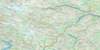
Maps for the Bute Inlet map sheet 092K at 1:250,000 scale are also available in these 4 versions:

  1. Buy Digital Topo Maps on Data-DVD
  2. Buy 092K Bute Inlet Waterproof Topographic Map
  3. Buy 092K Bute Inlet Topographic Paper Map
  4. Free Printable NTS Topographic Map
 

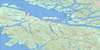
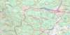
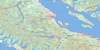
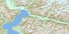
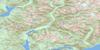
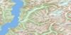
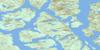
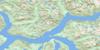
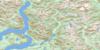
Bute Inlet Surrounding Area Topos (NTS 092)

092M Rivers Inlet Free Online Topo Map Thumbnail 092N Mount Waddington Free Online Topo Map Thumbnail 092O Taseko Lakes Free Online Topo Map Thumbnail 092P Bonaparte Lake Free Online Topo Map Thumbnail
092L Alert Bay Free Online Topo Map Thumbnail 092K Bute Inlet Free Online Topo Map Thumbnail 092J Pemberton Free Online Topo Map Thumbnail 092I Ashcroft Free Online Topo Map Thumbnail
092E Nootka Sound Free Online Topo Map Thumbnail 092F Port Alberni Free Online Topo Map Thumbnail 092G Vancouver Free Online Topo Map Thumbnail 092H Hope Free Online Topo Map Thumbnail
092C Cape Flattery Free Online Topo Map Thumbnail 092B Victoria Free Online Topo Map Thumbnail
© Department of Natural Resources Canada. All rights reserved.

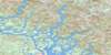
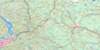
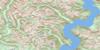
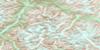
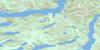
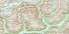
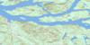
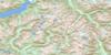
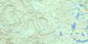
092K Bute Inlet Area Topo Maps at 1:50,000

092K13 Knight Inlet Topo Map Thumbnail 092K14 Stafford River Topo Map Thumbnail 092K15 Southgate River Topo Map Thumbnail 092K16 Mount Gilbert Topo Map Thumbnail
092K12 Glendale Cove Topo Map Thumbnail 092K11 Phillips River Topo Map Thumbnail 092K10 Orford River Topo Map Thumbnail 092K09 Mount Argyll Topo Map Thumbnail
092K05 Sayward Topo Map Thumbnail 092K06 Sonora Island Topo Map Thumbnail 092K07 Toba Inlet Topo Map Thumbnail 092K08 Little Toba River Topo Map Thumbnail
092K04 Brewster Lake Topo Map Thumbnail 092K03 Quadra Island Topo Map Thumbnail 092K02 Desolation Sound Topo Map Thumbnail 092K01 Powell Lake Topo Map Thumbnail
© Department of Natural Resources Canada. All rights reserved.
Bute Inlet Topo Map 092K at 1:250,000 Scale
© Department of Natural Resources Canada. All rights reserved.
 
Buy Topographic Maps DVD
Newsletter Sign-up

Yes, I want to receive map store discounts.


Bookmark and Share