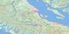
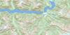
Rivers Inlet Topo Map
Free Topo Maps Downloadable Online: 092M
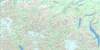
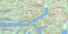
092M Rivers Inlet Topo Map
To view this map, mouse over the map preview on the right.
You can also download this topo map for free:
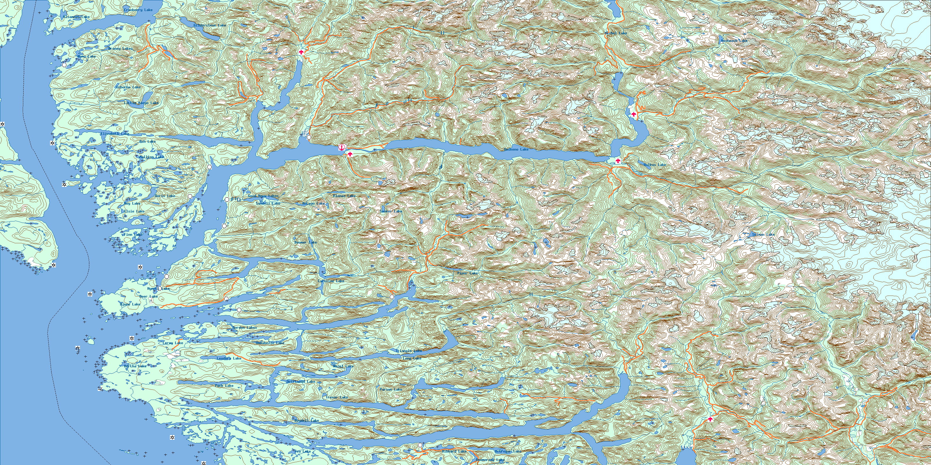
092M Rivers Inlet high-resolution topo map image.
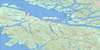
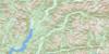
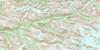
Maps for the Rivers Inlet map sheet 092M at 1:250,000 scale are also available in these 4 versions:
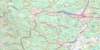
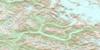
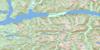
Rivers Inlet Surrounding Area Topos (NTS 092)
 |
 |
 |
 |
 |
 |
 |
 |
 |
 |
 |
 |
 |
 |
© Department of Natural Resources Canada. All rights reserved.
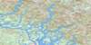
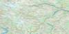
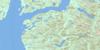
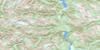
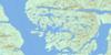
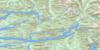
092M Rivers Inlet Area Topo Maps at 1:50,000
 |
 |
 |
 |
 |
 |
 |
 |
 |
 |
 |
 |
 |
 |
 |
 |
© Department of Natural Resources Canada. All rights reserved.
© Department of Natural Resources Canada. All rights reserved.
092M Related Maps:
092M Rivers Inlet092M01 Atwaykellesse River
092M02 Seymour Inlet
092M03 Belize Inlet
092M04 Cape Caution
092M05 Goose Bay
092M06 Smith Inlet
092M07 Mount Philley
092M08 Catto Creek
092M09 Machmell River
092M10 Owikeno Lake
092M11 Rivers Inlet
092M12 Fish Egg Inlet
092M13 Namu
092M14 Kilbella River
092M15 Tzeo River
092M16 Sheemahant River
