Little Toba River Topo Map Online
Download Free Topo Map Sheet 092K08 at 1:50,000 scale
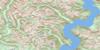
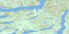
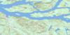
092K08 Little Toba River Topo Map
To view this map, mouse over the map preview on the right.
You can also download this topo map for free:
092K08 Little Toba River high-resolution topo map image.
Maps for the Little Toba River topo map sheet 092K08 at 1:50,000 scale are also available in these versions:
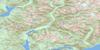
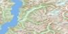
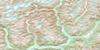
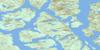
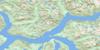
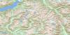
Little Toba River Surrounding Area Topo Maps
 |
 |
 |
 |
 |
 |
 |
 |
 |
 |
 |
 |
 |
 |
 |
 |
© Department of Natural Resources Canada. All rights reserved.
Little Toba River Gazetteer
The following places can be found on topographic map sheet 092K08 Little Toba River:
Little Toba River Topo Map: Bays
Toba InletLittle Toba River Topo Map: Glaciers
Blackfin GlacierLittle Toba River Topo Map: Indian Reserves
Klahoose Indian Reserve 1Quaniwsom Indian Reserve 2
Réserve indienne Klahoose 1
Réserve indienne Quaniwsom 2
Little Toba River Topo Map: Lakes
Boyle LakeHomfray Lake
Joan Lake
Raindrop Lake
Little Toba River Topo Map: Mountains
Blackfin PeakChaîne Côtière
Clendinning Range
Coast Mountains
Julian Peak
Limpet Ridge
Lockie's Table
Pacific Ranges
Little Toba River Topo Map: Major municipal/district area - major agglomerations
Regional District of Comox-StrathconaLittle Toba River Topo Map: Rivers
Barkshack CreekBoyle Creek
Chusan Creek
Daniels River
Forbes Creek
Jim Brown Creek
Little Toba River
Lunar Creek
Pilldolla Creek
Powell River
Skwawka River
Tahumming River
Toba River
Little Toba River Topo Map: Unincorporated areas
Scow Bay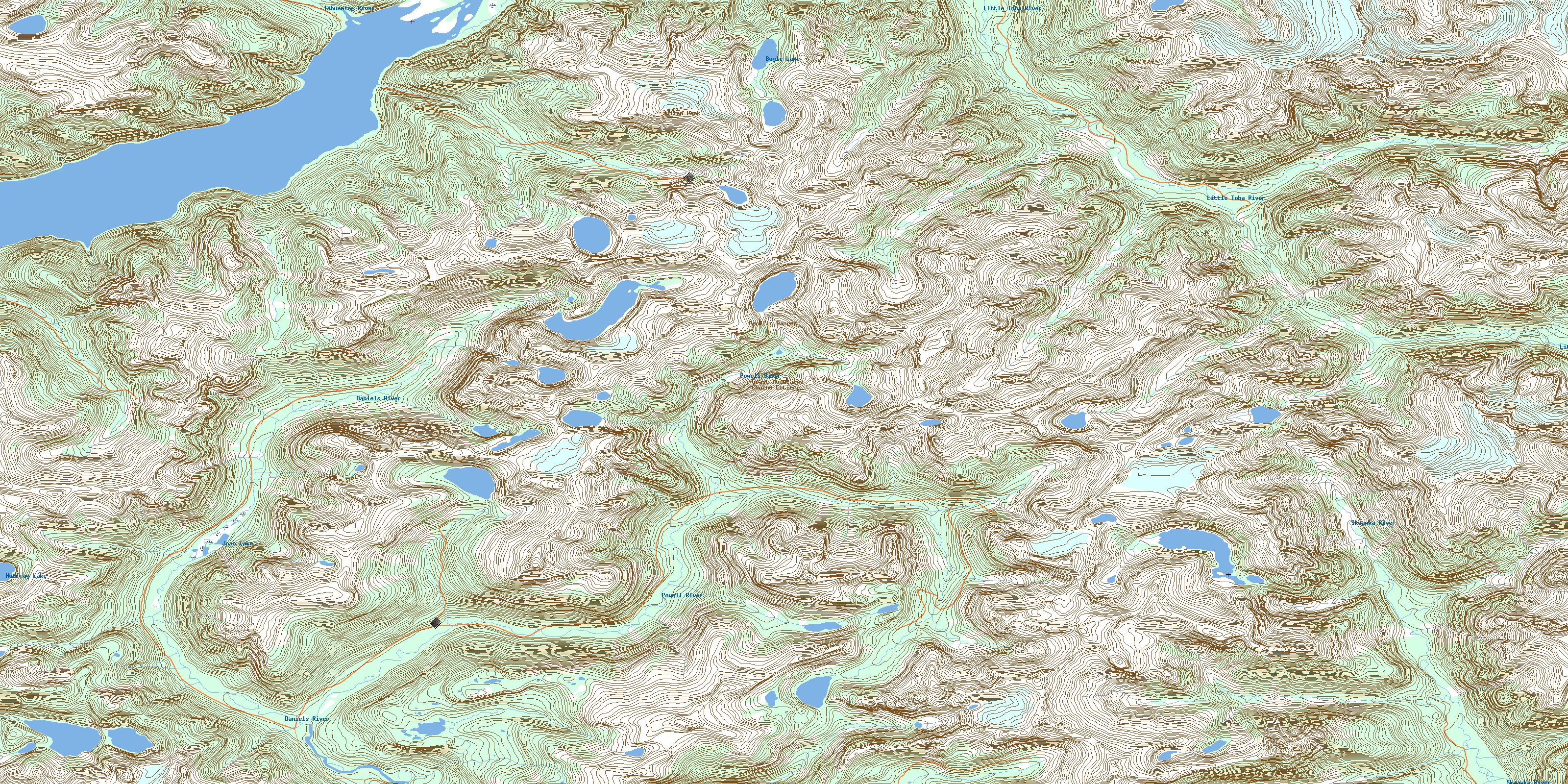
© Department of Natural Resources Canada. All rights reserved.
092K Related Maps:
092K Bute Inlet092K01 Powell Lake
092K02 Desolation Sound
092K03 Quadra Island
092K04 Brewster Lake
092K05 Sayward
092K06 Sonora Island
092K07 Toba Inlet
092K08 Little Toba River
092K09 Mount Argyll
092K10 Orford River
092K11 Phillips River
092K12 Glendale Cove
092K13 Knight Inlet
092K14 Stafford River
092K15 Southgate River
092K16 Mount Gilbert
