Glendale Cove Topo Map Online
Download Free Topo Map Sheet 092K12 at 1:50,000 scale
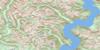
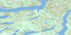
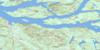
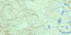
092K12 Glendale Cove Topo Map
To view this map, mouse over the map preview on the right.
You can also download this topo map for free:
092K12 Glendale Cove high-resolution topo map image.
Maps for the Glendale Cove topo map sheet 092K12 at 1:50,000 scale are also available in these versions:
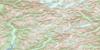
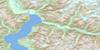
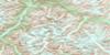
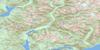
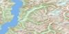
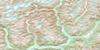
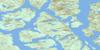
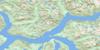
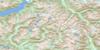
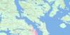
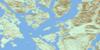
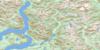
Glendale Cove Surrounding Area Topo Maps
 |
 |
 |
 |
 |
 |
 |
 |
 |
 |
 |
 |
 |
 |
 |
 |
© Department of Natural Resources Canada. All rights reserved.
Glendale Cove Gazetteer
The following places can be found on topographic map sheet 092K12 Glendale Cove:
Glendale Cove Topo Map: Bays
Baresides BayBeaver Inlet
Call Inlet
Duncan Bay
Duncan Bight
Edith Cove
Felix Bay
Glendale Cove
Heydon Bay
Hoeya Sound
Jackson Bay
Knight Inlet
Loughborough Inlet
Port Neville
Read Bay
Sidney Bay
Siwash Bay
Topaze Harbour
Glendale Cove Topo Map: Capes
Adeane PointBarry Point
Campbell Point
Collingwood Point
Cosby Point
Dickson Point
Duncan Point
Hales Point
Hanatsa Point
Haswell Point
Hill Point
Hoeya Head
Macdonald Point
Mary Point
Mitchell Point
Molesworth Point
Murray Point
Naena Point
Neale Point
Rough Point
Sallie Point
Statham Point
Towry Head
Wignell Point
William Point
Glendale Cove Topo Map: Geographical areas
Range 1 Coast Land DistrictGlendale Cove Topo Map: Glaciers
Pembroke RangeGlendale Cove Topo Map: Indian Reserves
Freda Point Indian Reserve 4Hanatsa Indian Reserve 6
Homayno Indian Reserve 2
Keogh Indian Reserve 2
Kwatse Indian Reserve 3
Loughborough Indian Reserve 3
Pawala Indian Reserve 5
Port Neville Indian Reserve 4
Réserve indienne Freda Point 4
Réserve indienne Hanatsa 6
Réserve indienne Homayno 2
Réserve indienne Keogh 2
Réserve indienne Kwatse 3
Réserve indienne Loughborough 3
Réserve indienne Pawala 5
Réserve indienne Port Neville 4
Glendale Cove Topo Map: Islands
Goat IsletsTomakstum Island
Glendale Cove Topo Map: Lakes
Duck LakeFulmore Lake
Glendale Lake
Heydon Bay Lake
Heydon Lake
Lapan Lake
Martin Lake
Pete Lake
Seabird Lake
Shannon Lake
Tom Browne Lake
Glendale Cove Topo Map: Mountains
Bags HillBaresides Mountain
Bazalgette Range
Beatrice Peak
Camp Peak
Cap Cone
Cape Cone
Chaîne Côtière
Coast Mountains
Flora Peak
Geneste Cone
Griffin Cone
Hastings Hill
Kiokh Hill
Kitty Cone
Mount Baresides
Mount Berkeley
Mount Boyle
Mount Catherine
Mount Drummond
Mount Edith
Mount Forbes
Mount Harold
Mount Lillie
Mount McDonald
Mount Prideaux
Mount Sawyer
Mount Scaife
Mount Scriven
Mount Shute
Mount Spencer
Mount St. John
Mount Stamp
Pacific Ranges
Sail Cone
Glendale Cove Topo Map: Major municipal/district area - major agglomerations
Regional District of Comox-StrathconaRegional District of Mount Waddington
Glendale Cove Topo Map: Rivers
Blind CreekBolivar Creek
Call Creek
Frazer Creek
Fulmore River
George Creek
Glendale Creek
Grassy Creek
Gray Creek
Heydon Creek
Jack Creek
Matsiu Creek
McAlister Creek
Poison Creek
Read Creek
Sallie Creek
Shamrock Creek
Shoal Creek
Tom Browne Creek
Wortley Creek
Glendale Cove Topo Map: River features
Cooper ReachGlendale Cove Topo Map: Shoals
Cuthbert RockLillian Rock
Glendale Cove Topo Map: Unincorporated areas
George RiverGlendale Cove
Heydon Bay
Jackson Bay
Knight Inlet
Roy
Glendale Cove Topo Map: Valleys
Matsiu Valley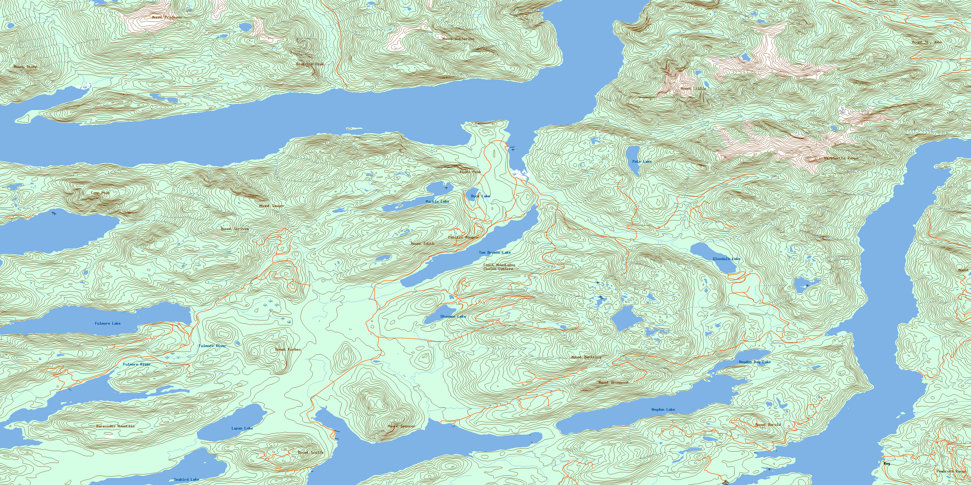
© Department of Natural Resources Canada. All rights reserved.
092K Related Maps:
092K Bute Inlet092K01 Powell Lake
092K02 Desolation Sound
092K03 Quadra Island
092K04 Brewster Lake
092K05 Sayward
092K06 Sonora Island
092K07 Toba Inlet
092K08 Little Toba River
092K09 Mount Argyll
092K10 Orford River
092K11 Phillips River
092K12 Glendale Cove
092K13 Knight Inlet
092K14 Stafford River
092K15 Southgate River
092K16 Mount Gilbert
