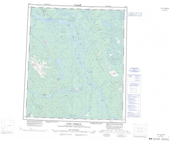
096C Fort Norman Topographic Maps
Maps for the Fort Norman map sheet 096C at 1:250,000 scale are available in 5 versions:
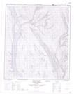
Topographic Map of Fort Norman
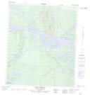
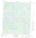
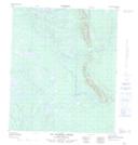
1:50,000 Scale Topos for Fort Norman 096C:
 |
 |
 |
 |
 |
 |
 |
 |
 |
 |
 |
 |
 |
 |
 |
 |
096C Related Maps:
096C Fort Norman
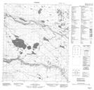
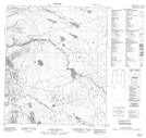
096C01 Birch Island
096C02 No Title
096C03 No Title
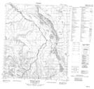
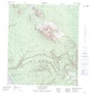
096C04 Red Dog Mountain
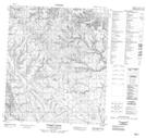
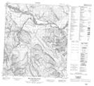
096C05 Summit Creek
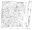
096C06 Mooselick Creek
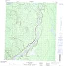
096C07 Burnt Point
096C08 Saline River
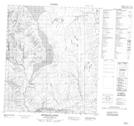
096C09 No Title
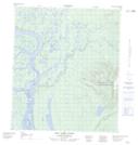
096C10 Old Fort Point
096C11 Tate Lake
096C12 Mackay Range
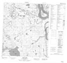
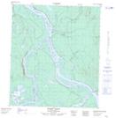
096C13 Fort Norman
096C14 Police Island
096C15 St Charles Creek
096C16 No Title
096C01 Birch Island
096C02 No Title
096C03 No Title
096C04 Red Dog Mountain
096C05 Summit Creek
096C06 Mooselick Creek
096C07 Burnt Point
096C08 Saline River
096C09 No Title
096C10 Old Fort Point
096C11 Tate Lake
096C12 Mackay Range
096C13 Fort Norman
096C14 Police Island
096C15 St Charles Creek
096C16 No Title
