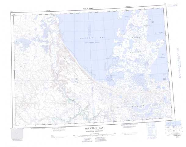
097C Franklin Bay Topographic Maps
Maps for the Franklin Bay map sheet 097C at 1:250,000 scale are available in 5 versions:
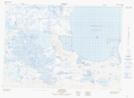
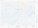
Topographic Map of Franklin Bay
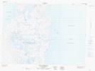
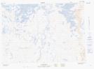
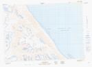
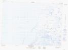
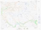
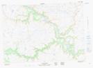
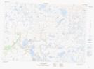
1:50,000 Scale Topos for Franklin Bay 097C:
 |
 |
 |
 |
 |
 |
 |
 |
 |
 |
 |
 |
 |
 |
 |
 |
097C Related Maps:
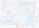
097C Franklin Bay
097C01 Biname Lake
097C02 No Title
097C03 No Title
097C04 No Title
097C05 No Title
097C06 Coal Creek
097C07 Langton Bay
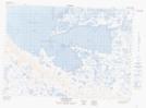
097C08 Paulatuk
097C09 Bennett Point
097C10 Point Stivens
097C11 No Title
097C12 No Title
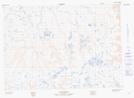
097C13 Mackenzie Lake
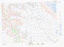
097C14W Old Horton Creek
097C15 Cracroft Bay
097C16 Letty Harbour
097C01 Biname Lake
097C02 No Title
097C03 No Title
097C04 No Title
097C05 No Title
097C06 Coal Creek
097C07 Langton Bay
097C08 Paulatuk
097C09 Bennett Point
097C10 Point Stivens
097C11 No Title
097C12 No Title
097C13 Mackenzie Lake
097C14W Old Horton Creek
097C15 Cracroft Bay
097C16 Letty Harbour
