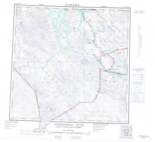
114P Tatshenshini River Topographic Maps
Maps for the Tatshenshini River map sheet 114P at 1:250,000 scale are available in 5 versions:
Topographic Map of Tatshenshini River
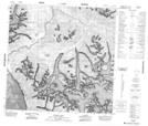
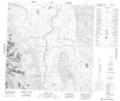
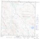
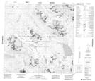
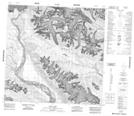
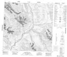
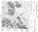
1:50,000 Scale Topos for Tatshenshini River 114P:
 |
 |
 |
 |
 |
 |
 |
 |
 |
 |
 |
 |
 |
 |
 |
114P Related Maps:
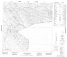
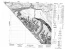
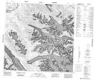
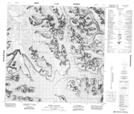
114P Tatshenshini River
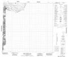
114P02 Carroll Glacier
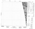
114P03 Grand Pacific Glacier
114P04 Mount Lodge
114P05 Konamoxt Glacier
114P06 Pentice Ridge
114P07 Tsirku Glacier
114P08 Mount Henry Clay
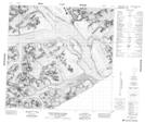
114P09 Kelsall River
114P10 Nadahini Creek
114P11 Carmine Mountain
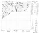
114P12 Tats Lake
114P13 Range Lake
114P14 Survey Lake
114P15 Parton River
114P16 Mount Kelsall
114P02 Carroll Glacier
114P03 Grand Pacific Glacier
114P04 Mount Lodge
114P05 Konamoxt Glacier
114P06 Pentice Ridge
114P07 Tsirku Glacier
114P08 Mount Henry Clay
114P09 Kelsall River
114P10 Nadahini Creek
114P11 Carmine Mountain
114P12 Tats Lake
114P13 Range Lake
114P14 Survey Lake
114P15 Parton River
114P16 Mount Kelsall
