Free Jennings River Topographic Map
Topo maps you can print: 104O Jennings River
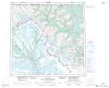
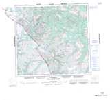
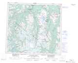
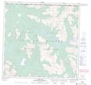
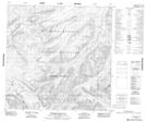
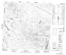
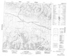
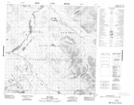
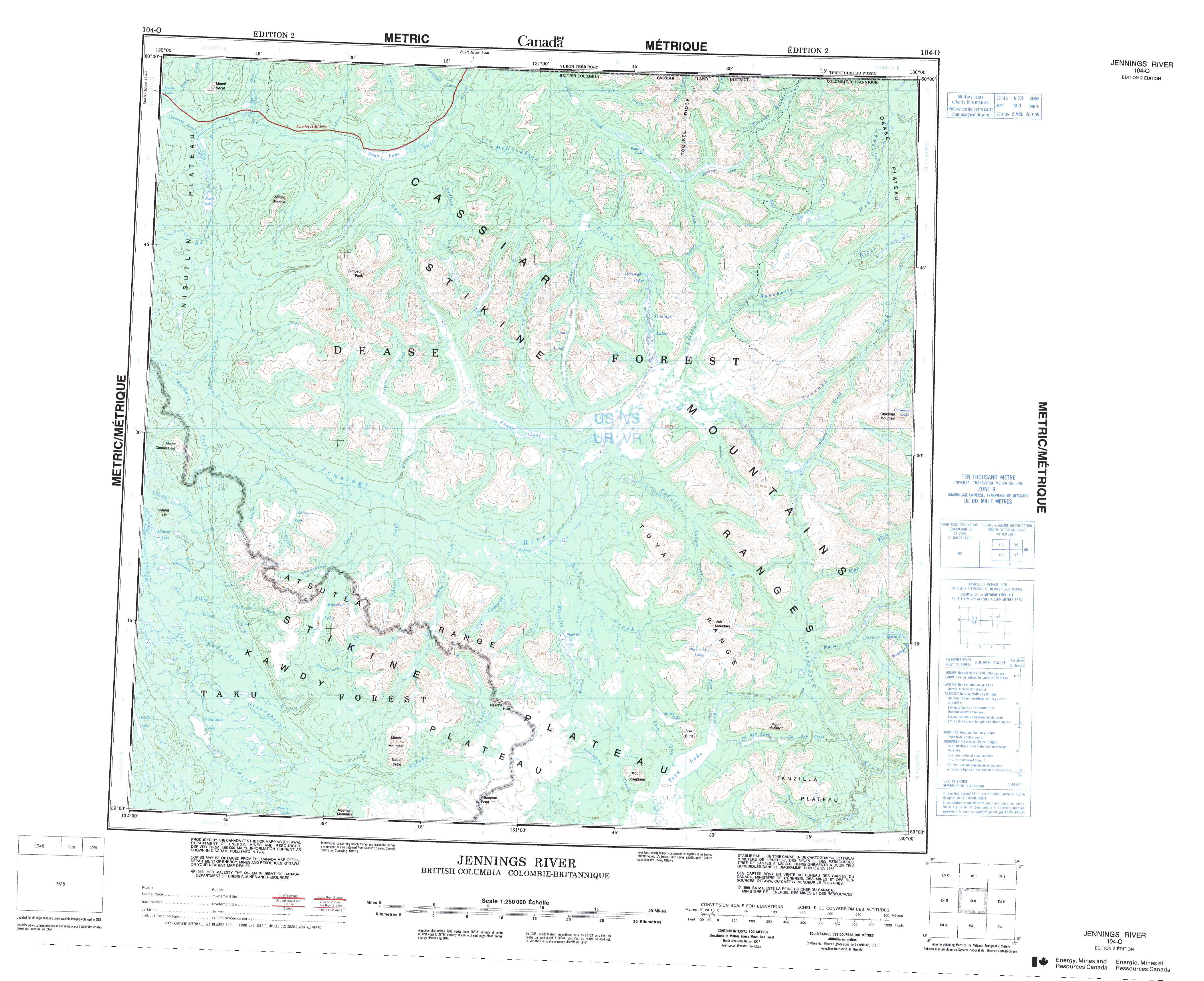
104O Jennings River Topo Map
To view this map, mouse over the map preview on the right.
You can also download and print this topo map for free:
104O Jennings River low-resolution printable topographic map.
A high-resolution map of Jennings River is available on Data-DVD.
Maps for the Jennings River map sheet 104O at 1:250,000 scale are also available in these 4 versions:
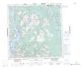
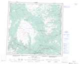
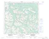
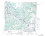
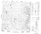
Jennings River Surrounding Area Topographic Maps at 1:250,000 scale (NTS 104)
 |
 |
 |
 |
 |
 |
 |
|
 |
 |
 |
|
 |
 |
© Department of Natural Resources Canada. All rights reserved.
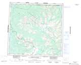
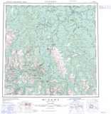
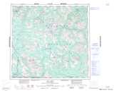
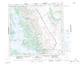
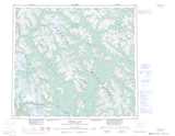
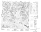
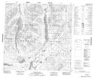
Jennings River Topo Maps at 1:50,000 (NTS 104O)
| |
|
 |
 |
 |
 |
 |
 |
 |
 |
 |
 |
 |
 |
 |
 |
© Department of Natural Resources Canada. All rights reserved.
© Department of Natural Resources Canada. All rights reserved.
104O Related Maps:
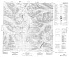
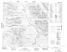
104O Jennings River104O01 Ed Asp Lake
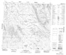
104O02 Tuya Lake
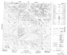
104O03 Nazcha Creek
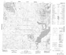
104O04 Chismaina Lake
104O05 Hyland Lake
104O06 Tahoots Creek
104O07 Ash Creek
104O08 Maria Lake
104O09 Chromite Mountain
104O10 Jennings Lakes
104O11 Klinkit Lake
104O12 No Title
104O13E Smart River
104O13W Smart River
104O14E Swan Lake
104O14W Swan Lake
104O15 Plate Lake
104O16 No Title
