Mcdougall Sound Topo Map
Free Topo Maps Downloadable Online: 068H
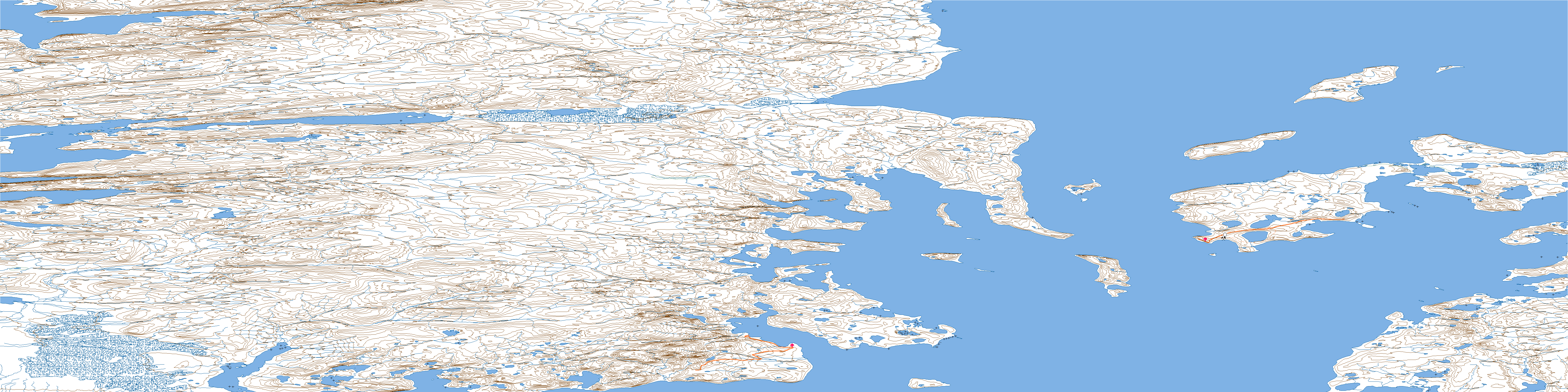
068H Mcdougall Sound Topo Map
To view this map, mouse over the map preview on the right.
You can also download this topo map for free:
068H Mcdougall Sound high-resolution topo map image.
Maps for the Mcdougall Sound map sheet 068H at 1:250,000 scale are also available in these 4 versions:
Mcdougall Sound Surrounding Area Topos (NTS 068)
 |
 |
 |
|
 |
 |
 |
 |
© Department of Natural Resources Canada. All rights reserved.
068H Mcdougall Sound Area Topo Maps at 1:50,000
 |
 |
 |
 |
 |
 |
 |
 |
 |
 |
 |
 |
 |
 |
 |
 |
© Department of Natural Resources Canada. All rights reserved.
© Department of Natural Resources Canada. All rights reserved.
068H Related Maps:
068H Mcdougall Sound068H01 Stanley Head
068H02 Mcdougall Sound
068H03 Freemans Cove
068H04 Allison Inlet
068H05 Misty River
068H06 No Title
068H07 Truro Island
068H08 Riddle Point
068H09 Little Cornwallis Island
068H10 Crozier Strait
068H11 Caledonian River
068H12 Variscan River
068H13 Dundee Bight
068H14 No Title
068H15 Rapid Point
068H16 Crozier Island
