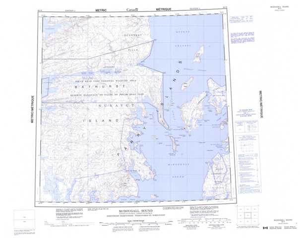
068H Mcdougall Sound Topographic Maps
Maps for the Mcdougall Sound map sheet 068H at 1:250,000 scale are available in 5 versions:
Topographic Map of Mcdougall Sound
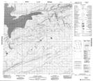
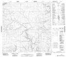
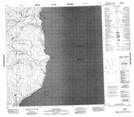
1:50,000 Scale Topos for Mcdougall Sound 068H:
 |
 |
 |
 |
 |
 |
 |
 |
 |
 |
 |
 |
 |
 |
 |
 |
068H Related Maps:
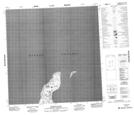
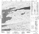
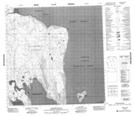
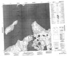
068H Mcdougall Sound
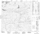
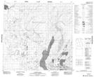
068H01 Stanley Head
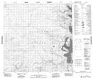
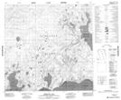
068H02 Mcdougall Sound
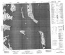
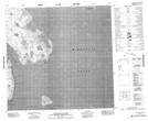
068H03 Freemans Cove
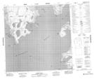
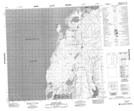
068H04 Allison Inlet
068H05 Misty River
068H06 No Title
068H07 Truro Island
068H08 Riddle Point
068H09 Little Cornwallis Island
068H10 Crozier Strait
068H11 Caledonian River
068H12 Variscan River
068H13 Dundee Bight
068H14 No Title
068H15 Rapid Point
068H16 Crozier Island
068H01 Stanley Head
068H02 Mcdougall Sound
068H03 Freemans Cove
068H04 Allison Inlet
068H05 Misty River
068H06 No Title
068H07 Truro Island
068H08 Riddle Point
068H09 Little Cornwallis Island
068H10 Crozier Strait
068H11 Caledonian River
068H12 Variscan River
068H13 Dundee Bight
068H14 No Title
068H15 Rapid Point
068H16 Crozier Island
