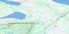
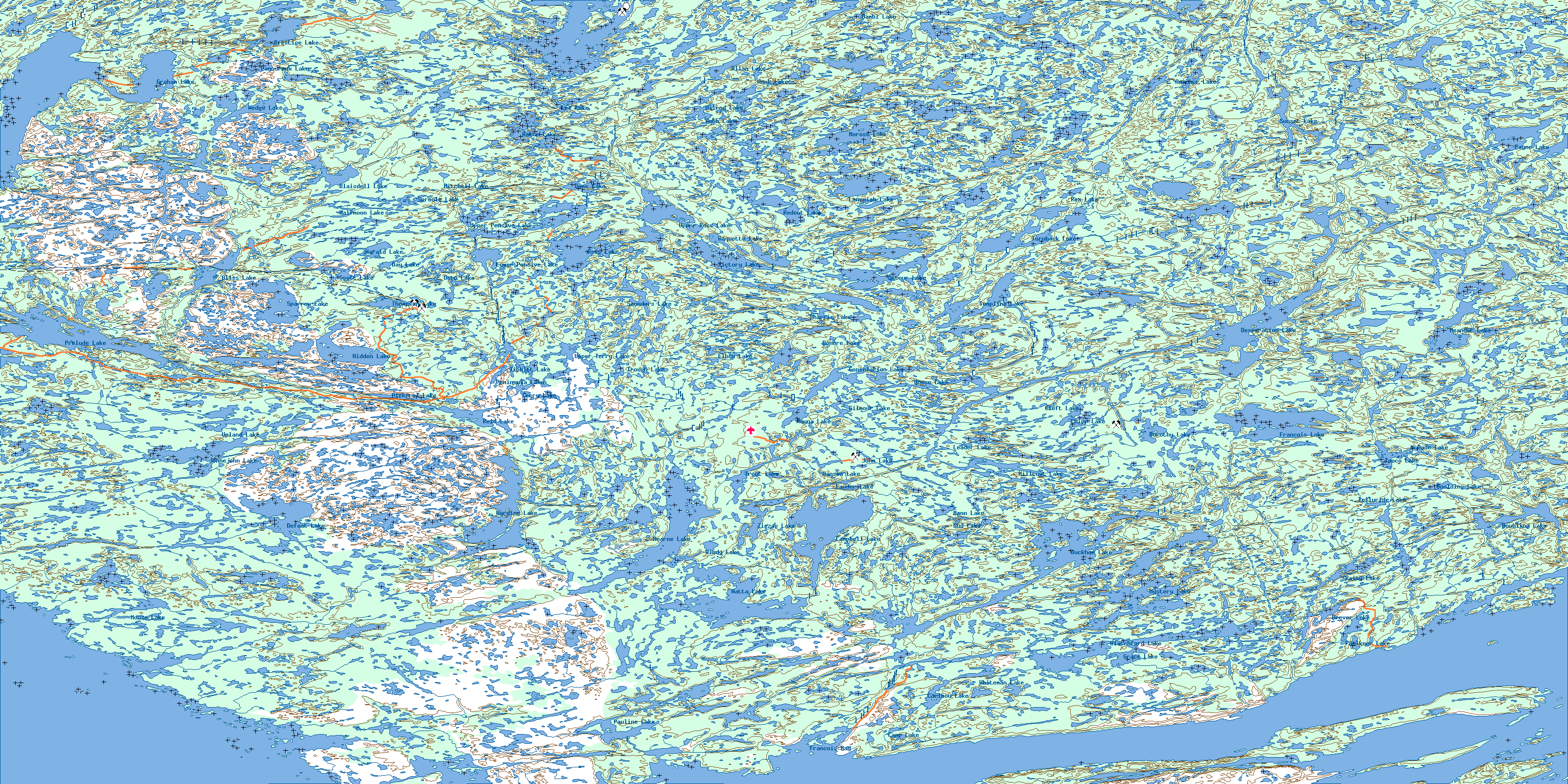
Hearne Lake Topo Map
Free Topo Maps Downloadable Online: 085I
085I Hearne Lake Topo Map
To view this map, mouse over the map preview on the right.
You can also download this topo map for free:
085I Hearne Lake high-resolution topo map image.
Maps for the Hearne Lake map sheet 085I at 1:250,000 scale are also available in these 4 versions:
Hearne Lake Surrounding Area Topos (NTS 085)
 |
 |
 |
 |
 |
 |
 |
 |
 |
 |
 |
 |
 |
 |
 |
 |
© Department of Natural Resources Canada. All rights reserved.
085I Hearne Lake Area Topo Maps at 1:50,000
 |
 |
 |
 |
 |
 |
 |
 |
 |
 |
 |
 |
 |
 |
 |
 |
© Department of Natural Resources Canada. All rights reserved.
© Department of Natural Resources Canada. All rights reserved.
085I Related Maps:
085I Hearne Lake085I01 Blanchet Island
085I02 Blachford Lake
085I03 Pauline Lake
085I04 Matonabbee Point
085I05 Jennejohn Lake
085I06 Hearne Lake
085I07 Buckham Lake
085I08 Doubling Lake
085I09 Desperation Lake
085I10 Tumpline Lake
085I11 Ross Lake
085I12 Prelude Lake
085I13 Duncan Lake
085I14 Zenith Island
085I15 Morose Lake
085I16 Sunset Lake
