Canada Topographic Maps

Virginia Falls Topo Map

Free Topo Maps Downloadable Online: 095F

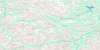
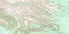
095F Virginia Falls Topo Map

To view this map, mouse over the map preview on the right.

You can also download this topo map for free:
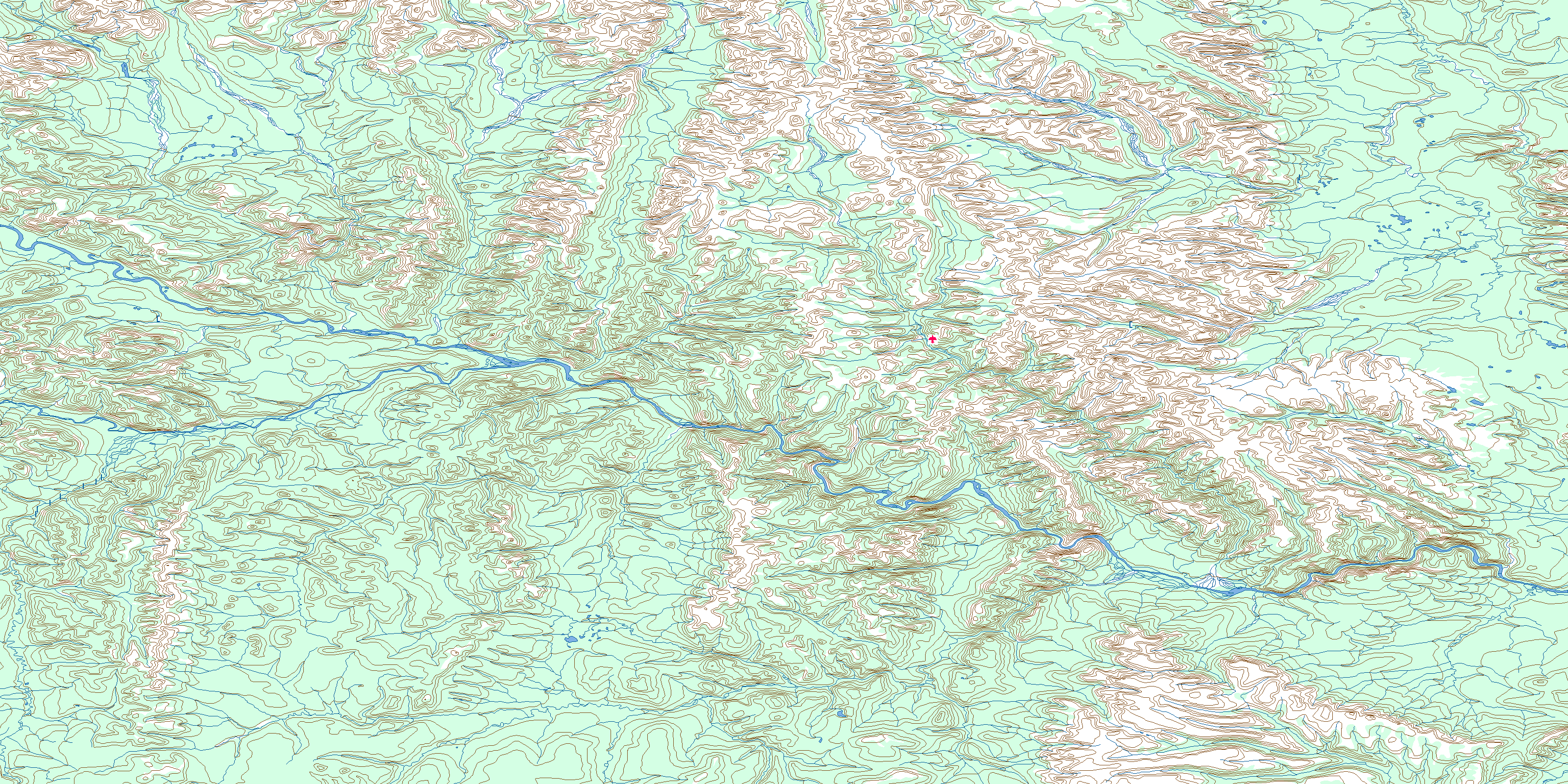
095F Virginia Falls high-resolution topo map image.

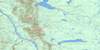
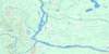
Maps for the Virginia Falls map sheet 095F at 1:250,000 scale are also available in these 4 versions:

  1. Buy Digital Topo Maps on Data-DVD
  2. Buy 095F Virginia Falls Waterproof Topographic Map
  3. Buy 095F Virginia Falls Topographic Paper Map
  4. Free Printable NTS Topographic Map
 

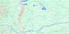
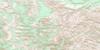
Virginia Falls Surrounding Area Topos (NTS 095)

095M Wrigley Lake Free Online Topo Map Thumbnail 095N Dahadinni River Free Online Topo Map Thumbnail 095O Wrigley Free Online Topo Map Thumbnail 095P Keller Lake Free Online Topo Map Thumbnail
095L Glacier Lake Free Online Topo Map Thumbnail 095K Root River Free Online Topo Map Thumbnail 095J Camsell Bend Free Online Topo Map Thumbnail 095I Bulmer Lake Free Online Topo Map Thumbnail
095E Flat River Free Online Topo Map Thumbnail 095F Virginia Falls Free Online Topo Map Thumbnail 095G Sibbeston Lake Free Online Topo Map Thumbnail 095H Fort Simpson Free Online Topo Map Thumbnail
095D Coal River Free Online Topo Map Thumbnail 095C La Biche River Free Online Topo Map Thumbnail 095B Fort Liard Free Online Topo Map Thumbnail 095A Trout Lake Free Online Topo Map Thumbnail
© Department of Natural Resources Canada. All rights reserved.

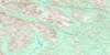
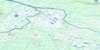
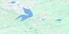
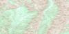
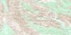
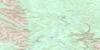
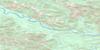
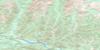
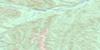
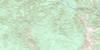
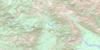
095F Virginia Falls Area Topo Maps at 1:50,000

095F13 Clearwater Creek Topo Map Thumbnail 095F14 Wrigley Creek Topo Map Thumbnail 095F15 Corridor Creek Topo Map Thumbnail 095F16 No Title Topo Map Thumbnail
095F12 Virginia Falls Topo Map Thumbnail 095F11 Vera Creek Topo Map Thumbnail 095F10 No Title Topo Map Thumbnail 095F09 Sundog Creek Topo Map Thumbnail
095F05 Mary River Topo Map Thumbnail 095F06 May Creek Topo Map Thumbnail 095F07 Second Canyon Topo Map Thumbnail 095F08 First Canyon Topo Map Thumbnail
095F04 No Title Topo Map Thumbnail 095F03 No Title Topo Map Thumbnail 095F02 No Title Topo Map Thumbnail 095F01 Clausen Creek Topo Map Thumbnail
© Department of Natural Resources Canada. All rights reserved.
Virginia Falls Topo Map 095F at 1:250,000 Scale
© Department of Natural Resources Canada. All rights reserved.
 
Buy Topographic Maps DVD
Newsletter Sign-up

Yes, I want to receive map store discounts.


Bookmark and Share