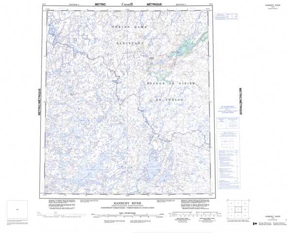
075P Hanbury River Topographic Maps
Maps for the Hanbury River map sheet 075P at 1:250,000 scale are available in 5 versions:
Topographic Map of Hanbury River
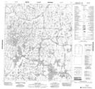
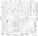
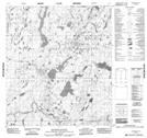
1:50,000 Scale Topos for Hanbury River 075P:
 |
 |
 |
 |
 |
 |
 |
 |
 |
 |
 |
 |
 |
 |
 |
 |
075P Related Maps:
075P Hanbury River
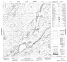
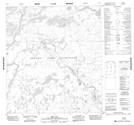
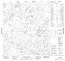
075P01 No Title
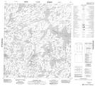
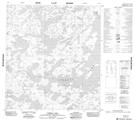
075P02 Eyeberry Lake
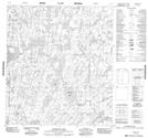
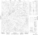
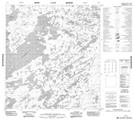
075P03 No Title
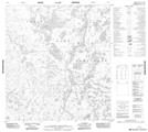
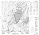
075P04 Tyrrell Lake
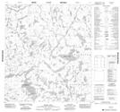
075P05 Radford Lake
075P06 Street Lake
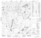
075P07 No Title
075P08 Coldblow Lake
075P09 The Gap
075P10 Ford Falls
075P11 Hoare Lake
075P12 Hanbury Lake
075P13 Maze Lake
075P14 No Title
075P15 Macdonald Falls
075P16 Axecut Lake
075P01 No Title
075P02 Eyeberry Lake
075P03 No Title
075P04 Tyrrell Lake
075P05 Radford Lake
075P06 Street Lake
075P07 No Title
075P08 Coldblow Lake
075P09 The Gap
075P10 Ford Falls
075P11 Hoare Lake
075P12 Hanbury Lake
075P13 Maze Lake
075P14 No Title
075P15 Macdonald Falls
075P16 Axecut Lake
